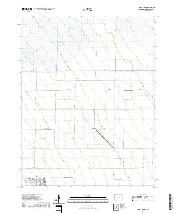
2022 Map of Center North
USGS Topo · Published 2022About this map
Center stands at the southern edge of this landscape, its grid defined by streets like W 1st St and E 6th St and anchored by the north-south corridor of Broadway. The surrounding terrain is a sophisticated network of water management infrastructure, where the San Luis Valley Irrigation Drain and Farmers Union Canal cut diagonally across the agricultural sections. The map reveals the intricate plumbing of the San Luis Valley, featuring systems like the N Main Canal and the N Central Lateral that distribute water from La Garita Cr to the fields. This reliance on irrigation defines the region's character, creating a structured landscape of section lines and county roads, while Leach Airport provides a modern transportation link between the extensive canal systems of t41n r8e and t42n r9e.
Find a feature on this map
30 named features on this map. Tap any name to fly to it.
Don’t see what you’re looking for? This feature index may not catch every label — zoom into the map to look around manually.
Map Details
Editions of this 2022 Center North Map
This is the sole edition of this map. No revisions or reprints were ever made.
Other maps of this area

1915 · Del Norte
USGS Topo · 1:125,000

1917 · Del Norte
USGS Topo · 1:125,000

1945 · Durango
USGS Topo · 1:250,000

1953 · Durango
USGS Topo · 1:250,000

1954 · Durango
USGS Topo · 1:250,000

1954 · Trinidad
USGS Topo · 1:250,000

1955 · Trinidad
USGS Topo · 1:250,000

1958 · Trinidad
USGS Topo · 1:250,000

1959 · Trinidad
USGS Topo · 1:250,000

1961 · Durango
USGS Topo · 1:250,000