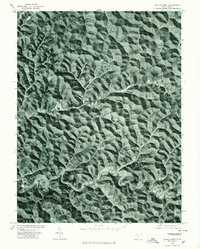
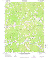
1976 Map of Center Point
USGS Topo · Published 1979About this map
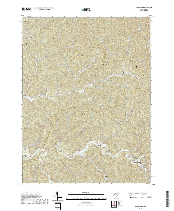
Mc Elroy Creek carves a winding path through this portion of Doddridge County, defining the drainage patterns and transportation corridors of the region. The settlements of Center Point and Stringtown appear as concentrated points of development along the valley floors, where the topography allows for level ground amidst the dense network of ridges. Produced from 1976 aerial photography, this orthophotoquad provides a literal view of the West Virginia landscape, showing the exact distribution of forest cover and clearings during the late 1970s. The visual data reveals how local roads and structures were strictly dictated by the narrow creek beds and steep hillsides, illustrating the enduring relationship between the terrain and human habitation in this part of the state.
Find a feature on this map
3 named features on this map. Tap any name to fly to it.
Don’t see what you’re looking for? This feature index may not catch every label — zoom into the map to look around manually.
Map Details
Editions of this 1976 Center Point Map
This is the sole edition of this map. No revisions or reprints were ever made.
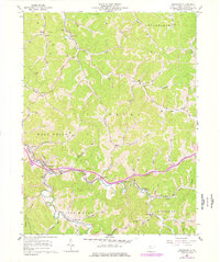
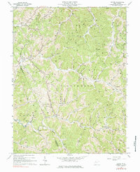
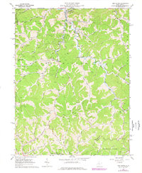
Historical Maps of Roberts Through Time
12 maps found
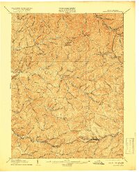
1905 Centerpoint
Doddridge County, WV
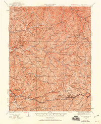
1924 Centerpoint
Doddridge County, WV
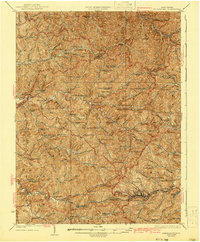
1925 Centerpoint
Doddridge County, WV
1961 Cedar Point
Doddridge County, WV
1961 Smithburg
Doddridge County, WV
1964 Oxford
Doddridge County, WV
1965 New Milton
Doddridge County, WV
1976 Center Point
Doddridge County, WV
2023 Center Point
Doddridge County, WV
2023 New Milton
Doddridge County, WV
2023 Oxford
Doddridge County, WV
2023 Smithburg
Doddridge County, WV