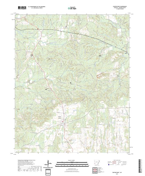
2024 Map of Center Point
USGS Topo · Published 2024About this map
Blue Bayou and Bishop Creek converge south of the historic settlement of Center Point, an area defined by its rural cemetery network and wood-harvesting infrastructure. This Arkansas landscape is marked by numerous family and community burial grounds, including the Old Salem Cem, Hester Cem, and Ebenezer Cem, many of which sit along the winding ridges between drainage basins. The presence of Old Tram Rd in the northwest corner points to the region's logging heritage, where specialized rail lines once moved timber through the creeks and branches. To the east, the community of Briar sits near the headwaters of Briar Creek, while the southern terrain is dominated by the prominent elevation of Pea Ridge and the waters of McAdams Lake. A dense network of forest roads serves the timberlands between Holly Creek and Temperanceville Creek.
Find a feature on this map
105 named features on this map. Tap any name to fly to it.
Don’t see what you’re looking for? This feature index may not catch every label — zoom into the map to look around manually.
Map Details
Editions of this 2024 Center Point Map
This is the sole edition of this map. No revisions or reprints were ever made.
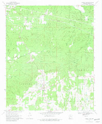
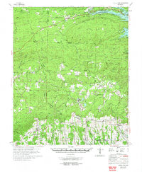
Historical Maps of Dierks Through Time
3 maps found