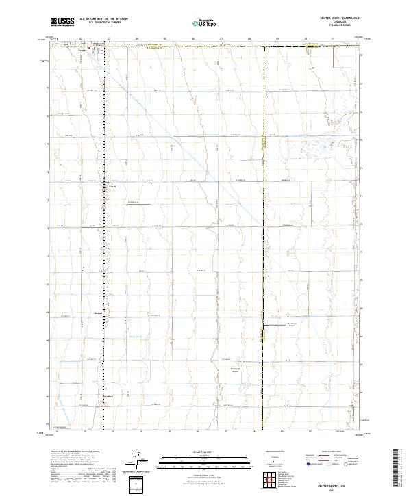
2022 Map of Center South
USGS Topo · Published 2022About this map
The agricultural landscape of the San Luis Valley is defined by a rigorous grid of section lines and irrigation works, crossing the boundaries of Rio Grande Co, Saguache Co, and Alamosa Co. The town of Center anchors the northwest corner of the map, while small named locales like Ansel, Dunul, and Vastine mark the intersections and sidings of this productive valley floor. The geography is fundamentally shaped by water management, seen in the engineered paths of the Rio Grande Drain, the Hiline Lateral, and the Raney Ditch. These features, along with the Prairie Ditch and Rio Grande Lateral Number 1, illustrate the complex system required to sustain the region's farms. Transport and aviation also play a role in this rural landscape, with Van Treese Airport and McCullough Airport serving as local hubs for the surrounding townships.
Find a feature on this map
67 named features on this map. Tap any name to fly to it.
Don’t see what you’re looking for? This feature index may not catch every label — zoom into the map to look around manually.
Map Details
Editions of this 2022 Center South Map
This is the sole edition of this map. No revisions or reprints were ever made.
Other maps of this area

1915 · Del Norte
USGS Topo · 1:125,000

1917 · Del Norte
USGS Topo · 1:125,000

1945 · Durango
USGS Topo · 1:250,000

1953 · Durango
USGS Topo · 1:250,000

1954 · Durango
USGS Topo · 1:250,000

1954 · Trinidad
USGS Topo · 1:250,000

1955 · Trinidad
USGS Topo · 1:250,000

1958 · Trinidad
USGS Topo · 1:250,000

1959 · Trinidad
USGS Topo · 1:250,000

1961 · Durango
USGS Topo · 1:250,000