2023 Map of Central Lake
USGS Topo · Published 2023About this map
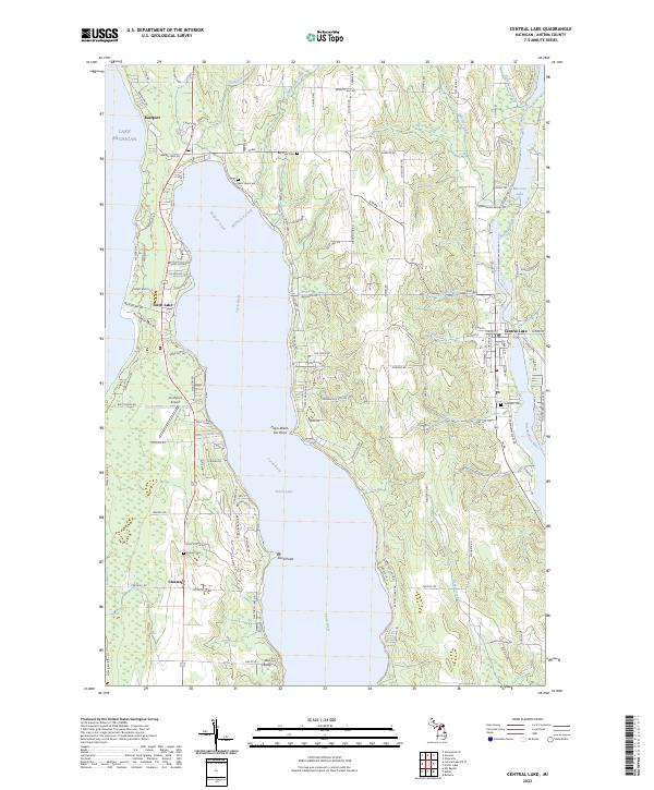
The deep turquoise waters of Torch Lake dominate this survey, situated between the shores of Lake Michigan and the Intermediate River system. The village of Central Lake sits at the eastern edge of the quadrangle, serving as a hub between Intermediate Lake and the surrounding agricultural uplands. To the northwest, the settlement of Eastport marks the narrow land bridge between the Great Lakes shoreline and the inland waterway. This landscape is defined by its glacial heritage, where the Chain of Lakes Water Trail connects various basins through the Torch River. Local history is preserved in small rural burial grounds like Southern Cemetery and Russell Cemetery, while landmarks like Old Baldy and Hayo-Went-Ha Point indicate the long-standing recreational and geographic significance of the peninsula. Further south, the community of Creswell and the Torchport Airport highlight the mix of residential growth and regional transport infrastructure.
Find a feature on this map
160 named features on this map. Tap any name to fly to it.
Don’t see what you’re looking for? This feature index may not catch every label — zoom into the map to look around manually.
Map Details
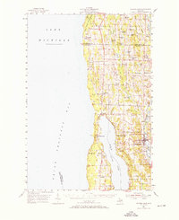
Editions of this 2023 Central Lake Map
This is the sole edition of this map. No revisions or reprints were ever made.
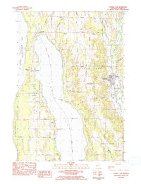
Historical Maps of Antrim County Through Time
3 maps found
Featured Locations
- Banks Township, MI
- Central Lake Township, MI
- Forest Home Township, MI
- Central Lake, Central Lake Township
- Torch Lake, Torch Lake Township