Loading...
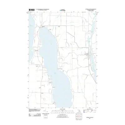
Loading map...1954 Map of Central Lake
USGS Topo · Published 1967About this map
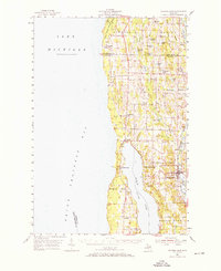
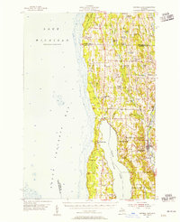
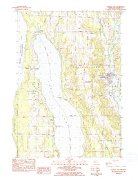
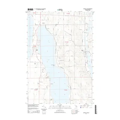
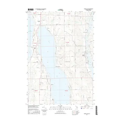
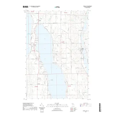
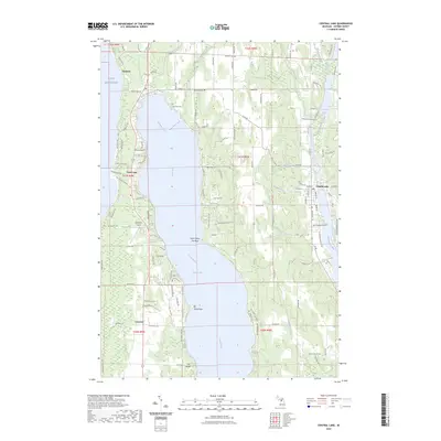
Grand Traverse Bay and the northern reaches of Torch Lake anchor this mid-century survey of the Chain O' Lakes region. The landscape is defined by its complex glacial hydrology, where smaller basins like Skinner Lake, Matchett Lake, and Intermediate Lake are connected by short, winding streams. The village of Central Lake serves as a primary hub, situated where the Chesapeake and Ohio railroad corridor tracks the eastern shoreline of the inland waters.
Find a feature on this map
70 named features on this map. Tap any name to fly to it.
Don’t see what you’re looking for? This feature index may not catch every label — zoom into the map to look around manually.
Map Details
Date Portrayed1954
Date Published1967
PublisherU.S. Geological Survey
Map TypeTopographic
Scale1:62,500
Physical Dimensions18 x 22 inches
Editions of this 1954 Central Lake Map
2 editions found
Historical Maps of Peninsula Township Through Time
7 maps found
Featured Locations
- Peninsula Township, MI
- Norwood, Norwood Township
- Ellsworth, Banks Township
- Central Lake, Central Lake Township
- Torch Lake, Torch Lake Township
Source Details
SourceU.S. Geological Survey
CopyrightPublic Domain