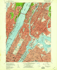
1956 Map of Central Park
USGS Topo · Published 1959About this map
Central Park serves as the literal and figurative centerpiece of this mid-century New York survey, anchoring a landscape of dense urbanization spanning from the New Jersey The Palisades to the western edge of Queens. The map illustrates a city in its post-war peak, where massive infrastructure projects like the George Washington Bridge and Triborough Bridge connect the boroughs. Educational and cultural institutions are densely concentrated, including Columbia University, Fordham University, and the Metropolitan Museum of Art. On the East River, Blackwells Island (Welfare Island) and Wards Island stand in contrast to the residential grids of Astoria and Mott Haven. The map also details the complex rail network of the era, featuring the New York Central and New York Connecting lines that linked the industrial waterfronts of Long Island City to the mainland.
Find a feature on this map
173 named features on this map. Tap any name to fly to it.
Don’t see what you’re looking for? This feature index may not catch every label — zoom into the map to look around manually.
Map Details
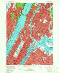
Editions of this 1956 Central Park Map
2 editions found
Other maps of this area

1888 · Paterson
USGS Topo · 1:62,500

1889 · Brooklyn
USGS Topo · 1:62,500

1891 · Brooklyn
USGS Topo · 1:62,500

1891 · Harlem
USGS Topo · 1:62,500

1892 · Paterson
USGS Topo · 1:62,500

1897 · Harlem
USGS Topo · 1:62,500

1897 · Brooklyn
USGS Topo · 1:62,500

1898 · Harlem
USGS Topo · 1:62,500

1898 · Staten Island
USGS Topo · 1:62,500

1898 · Brooklyn
USGS Topo · 1:62,500