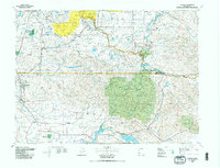
1980 Map of Centralia
USGS Topo · Published 1980About this map
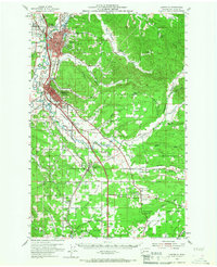
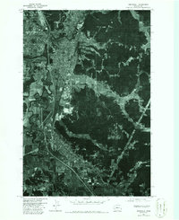
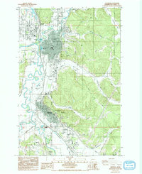
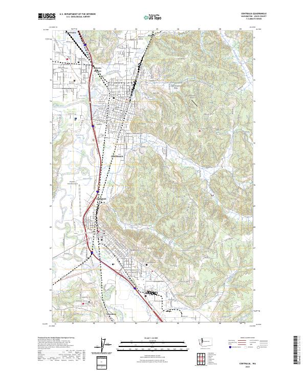
Centralia and Chehalis serve as the primary hubs in this 1980 survey, which captures a landscape defined by its river systems and industrial footprints. The Chehalis River and Nisqually River systems anchor the drainage of the region, while the Burlington Northern, Union Pacific, and C M ST P & P rail lines highlight a transport network built for heavy industry. Resource extraction is prominent in the northern reaches of the Lewis Co area, specifically at the Stoker Mine and Black Prince Mine near Hannaford.
Find a feature on this map
162 named features on this map. Tap any name to fly to it.
Don’t see what you’re looking for? This feature index may not catch every label — zoom into the map to look around manually.
Map Details
Editions of this 1980 Centralia Map
This is the sole edition of this map. No revisions or reprints were ever made.
Historical Maps of Lacey Through Time
5 maps found