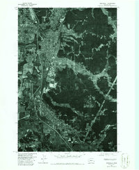
1975 Map of Centralia
USGS Topo · Published 1986About this map
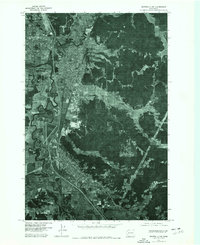
Centralia and Chehalis anchor this 1975 aerial study, showing the mid-century urban expansion along the Interstate 5 corridor in Lewis County. The orthophoto format provides a clear view of the complex hydrology where the Skookumchuck River meets the Chehalis River, a confluence that has long dictated the layout of these neighboring timber and rail towns. The residential grids of Fords Prairie are visible to the northwest, illustrating how local development began to fill the flatlands between the river bends and the rising forested hills to the east. This transition from traditional downtown blocks to industrial zones and suburban pockets reflects the region's mid-1970s character, capturing the landscape before decades of modern commercial development altered the footprint of the Chehalis River valley.
Find a feature on this map
5 named features on this map. Tap any name to fly to it.
Don’t see what you’re looking for? This feature index may not catch every label — zoom into the map to look around manually.
Map Details
Editions of this 1975 Centralia Map
2 editions found
Other maps of this area

1916 · Chehalis
USGS Topo · 1:125,000

1940 · Tenino
USGS Topo · 1:62,500

1941 · Meskill
USGS Topo · 1:62,500

1941 · Gate
USGS Topo · 1:62,500

1944 · Tenino
USGS Topo · 1:62,500

1949 · Tenino
USGS Topo · 1:62,500

1953 · Hoquiam
USGS Topo · 1:250,000

1953 · Rochester
USGS Topo · 1:62,500

1953 · Adna
USGS Topo · 1:62,500

1954 · Centralia
USGS Topo · 1:62,500