
1953 Map of Adna
USGS Topo · Published 1955About this map
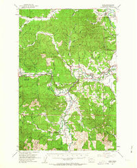
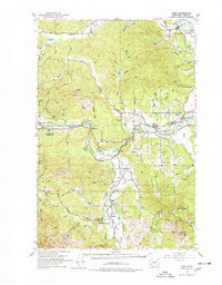
The Chehalis River and its major tributary, the South Fork Chehalis River, dominate this mid-century portrait of western Lewis County. The landscape is a mix of agricultural river valleys and rising timberlands, with the Northern Pacific railroad corridor serving as a vital artery through settlements like Dryad, Meskill, and Adna. Local social and civic life is anchored by landmarks such as the Grange Hall in Boistfort and the Crego Grange, reflecting a rural economy centered on the fertile Boistfort Prairie.
Find a feature on this map
69 named features on this map. Tap any name to fly to it.
Don’t see what you’re looking for? This feature index may not catch every label — zoom into the map to look around manually.
Map Details
Editions of this 1953 Adna Map
3 editions found
Other maps of this area

1916 · Chehalis
USGS Topo · 1:125,000

1940 · Tenino
USGS Topo · 1:62,500

1941 · Walville
USGS Topo · 1:62,500

1941 · Meskill
USGS Topo · 1:62,500

1941 · Olequa
USGS Topo · 1:62,500

1941 · Gate
USGS Topo · 1:62,500

1941 · Skamokawa
USGS Topo · 1:62,500

1941 · Ford
USGS Topo · 1:62,500

1944 · Tenino
USGS Topo · 1:62,500

1949 · Tenino
USGS Topo · 1:62,500