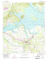
2024 Map of Centre
USGS Topo · Published 2024About this map
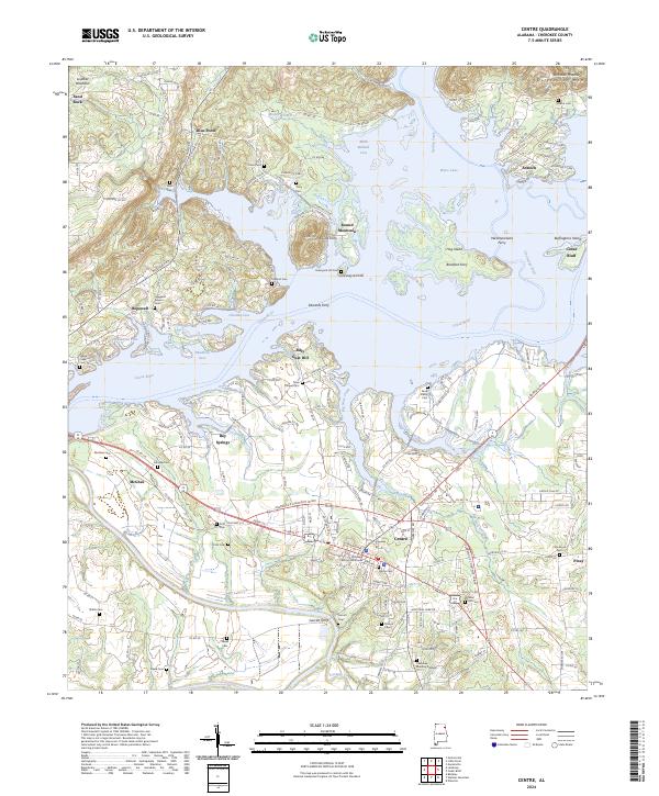
The Coosa River corridor defines this portion of Cherokee County, where the sprawling waters of Weiss Lake have reshaped the landscape around the county seat at Centre. The map reveals a transition from the prominent heights of Lookout Mountain and Shinbone Ridge in the northwest to the fertile bottomlands along Terrapin Creek. A dense network of family and community cemeteries, such as Pratts Cem, Sewell Cem, and Graveyard Hill Cem, provides a detailed record of the area's ancestral settlements. Several ferry sites, including Ewing Ferry and Bradford Ferry, indicate where historical river crossings once facilitated local trade and travel between rural communities like Blue Pond and Cedar Bluff. The presence of the Cherokee County Courthouse underscores the town's role as a civic hub amidst a landscape of diverse terrain features like Billy Goat Hill and Dirtseller Mtn.
Find a feature on this map
167 named features on this map. Tap any name to fly to it.
Don’t see what you’re looking for? This feature index may not catch every label — zoom into the map to look around manually.
Map Details
Editions of this 2024 Centre Map
This is the sole edition of this map. No revisions or reprints were ever made.