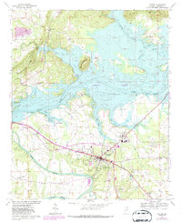
1967 Map of Centre
USGS Topo · Published 1987About this map
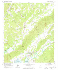
The Coosa River valley dominates this landscape, significantly altered by the impoundment of Weiss Lake. This water body, featuring a normal pool elevation of 564 feet, has created an intricate shoreline around former hills like Round Mountain and Billy Goat Hill. The city of Centre serves as the regional hub, protected in part by a Levee system and supported by infrastructure such as the Centre Municipal Airport and County Hospital.
Find a feature on this map
43 named features on this map. Tap any name to fly to it.
Don’t see what you’re looking for? This feature index may not catch every label — zoom into the map to look around manually.
Map Details
Editions of this 1967 Centre Map
3 editions found
Other maps of this area

1893 · Fort Payne
USGS Topo · 1:125,000

1898 · Fort Payne
USGS Topo · 1:125,000

1900 · Fort Payne
USGS Topo · 1:125,000

1946 · Portersville
USGS Topo · 1:24,000
1947 · Portersville
USGS Topo · 1:24,000

1955 · Rome
USGS Topo · 1:250,000

1958 · Rome
USGS Topo · 1:250,000

1961 · Rome
USGS Topo · 1:250,000

1963 · Rome
USGS Topo · 1:250,000
1967 · Gaylesville
USGS Topo · 1:24,000