
Loading...
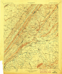
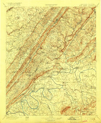
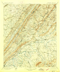
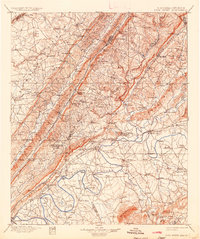
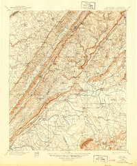
Loading map...1900 Map of Fort Payne
USGS Topo · Published 1900About this map
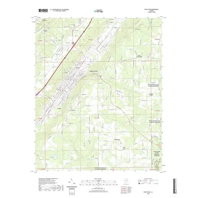
Lookout Mountain and Sand Mountain dominate the terrain of this northeast Alabama landscape at the turn of the century, where the Big Wills Creek valley serves as a vital corridor for the Southern R.R. and Chattanooga Southern R.R.. This 1890s survey by Charles D. Walcott reveals an intricate network of river-based commerce along the Coosa River, evidenced by numerous family-named crossings such as Wood Ferry, Garrett Ferry, and Tripp Ferry.
Find a feature on this map
151 named features on this map. Tap any name to fly to it.
Don’t see what you’re looking for? This feature index may not catch every label — zoom into the map to look around manually.
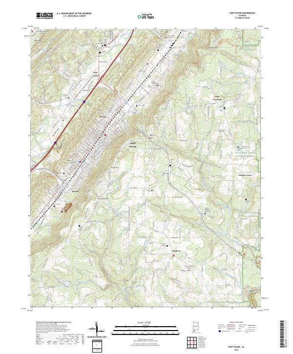
Map Details
Date Portrayed1900
Date Published1900
PublisherU.S. Geological Survey
Map TypeTopographic
Scale1:125,000
Physical Dimensions16.5 x 19.9 inches
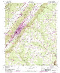
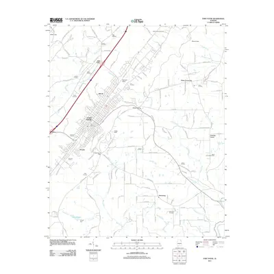
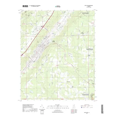
Editions of this 1900 Fort Payne Map
6 editions found
Historical Maps of Gadsden Through Time
9 maps found


Featured Locations
Source Details
SourceU.S. Geological Survey
CopyrightPublic Domain