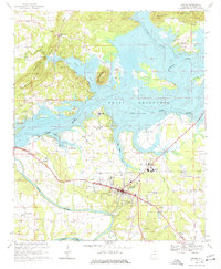
1967 Map of Centre
USGS Topo · Published 1977About this map
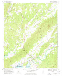
Weiss Reservoir dominates this landscape, having altered the natural confluence of the Coosa River, Chattooga River, and Little River. The 1967 field survey illustrates how the controlled inundation of the Coosa changed the local geography, leaving former highlands like Round Mountain and Billy Goat Hill standing as prominent markers above the new shoreline. To the south, the city of Centre serves as a hub of activity, featuring the County High Sch, the Armory, and a Radio Tower (WEIS). Evidence of older infrastructure remains visible through the Old Railroad Grade cutting across the northern reaches near Dirtseiler Mountain. Rural life is anchored by a dense network of country churches and small family settlements such as Blue Pond, Piney, and Elrath. Researchers can also locate civic landmarks including the County Hospital and Centre Municipal Airport.
Find a feature on this map
47 named features on this map. Tap any name to fly to it.
Don’t see what you’re looking for? This feature index may not catch every label — zoom into the map to look around manually.
Map Details
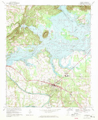
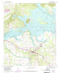
Editions of this 1967 Centre Map
3 editions found
Other maps of this area

1893 · Fort Payne
USGS Topo · 1:125,000

1898 · Fort Payne
USGS Topo · 1:125,000

1900 · Fort Payne
USGS Topo · 1:125,000

1946 · Portersville
USGS Topo · 1:24,000
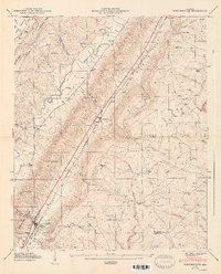
1947 · Portersville
USGS Topo · 1:24,000

1955 · Rome
USGS Topo · 1:250,000

1958 · Rome
USGS Topo · 1:250,000

1961 · Rome
USGS Topo · 1:250,000

1963 · Rome
USGS Topo · 1:250,000
1967 · Gaylesville
USGS Topo · 1:24,000