2021 Map of Chaffee
USGS Topo · Published 2021About this map
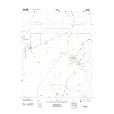
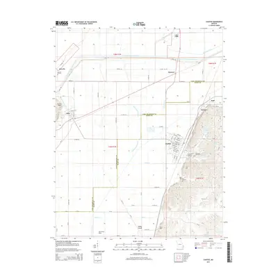
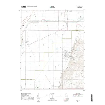
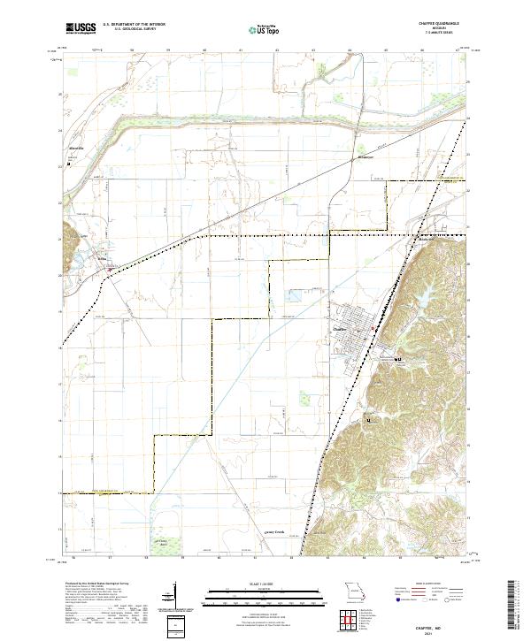
Chaffee and the surrounding Scott County landscape are defined by a complex network of hydrological engineering and early 20th-century rail routes. The Castor River Diversion Channel dominates the northern terrain, reflecting large-scale efforts to manage the wetlands of the Missouri Bootheel. Nearby, the Old Channel Hubble Cr and Dutchtown Ditch further illustrate this heavily modified water system. To the west, the settlement of Delta sits near the confluence of local drainage, while Rockview serves as a junction point north of the city center.
Find a feature on this map
85 named features on this map. Tap any name to fly to it.
Don’t see what you’re looking for? This feature index may not catch every label — zoom into the map to look around manually.
Map Details
Editions of this 2021 Chaffee Map
This is the sole edition of this map. No revisions or reprints were ever made.
Historical Maps of Chaffee Through Time
5 maps found