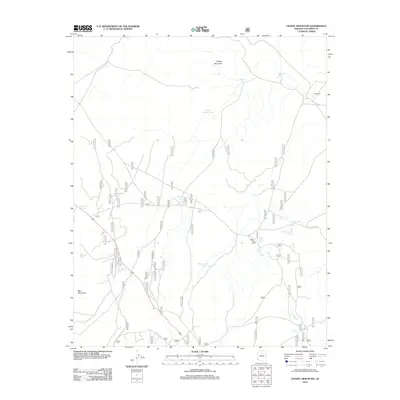
2012 Map of Chapel Mountain
USGS Topo · Published 2012About this map
Chapel Mountain rises over an arid high-desert landscape defined by the livestock ranching infrastructure of Coconino County. The map documents a territory where water management is central to the land's utility, evidenced by a dense network of catchment basins like Babbitt Lake, North Pasture Tank, and the humorously named Porkchop Tank. Human presence is anchored by established outposts such as Cedar Ranch and Tub Ranch, which serve as the primary hubs in this sparsely populated region. A lattice of primitive roads and Forest Service routes, including FS RD 184h and various spurs of Forest Service RD, facilitates travel through the drainage of Cedar Wash. The southern portion of the quadrangle is marked by the distinct prominence of Red Mountain, providing a stark topographic contrast to the surrounding ranch lands and seasonal water tanks.
Find a feature on this map
22 named features on this map. Tap any name to fly to it.
Don’t see what you’re looking for? This feature index may not catch every label — zoom into the map to look around manually.
Map Details
Editions of this 2012 Chapel Mountain Map
This is the sole edition of this map. No revisions or reprints were ever made.
Other maps of this area
1886 · San Francisco Mtns
USGS Topo · 1:250,000
1891 · San Francisco Mtns
USGS Topo · 1:250,000
1894 · San Francisco Mtns
USGS Topo · 1:250,000
1899 · San Francisco Mtns
USGS Topo · 1:250,000
1908 · Flagstaff
USGS Topo · 1:125,000
1912 · Flagstaff
USGS Topo · 1:125,000

1947 · Flagstaff
USGS Topo · 1:250,000
1954 · Flagstaff
USGS Topo · 1:250,000
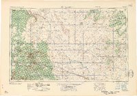
1958 · Flagstaff
USGS Topo · 1:250,000
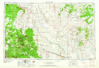
1960 · Flagstaff
USGS Topo · 1:250,000