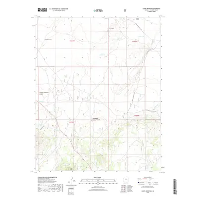
2018 Map of Chapel Mountain
USGS Topo · Published 2018About this map
Kaibab National Forest and Coconino National Forest meet in this high-desert landscape, where land management and ranching history are deeply etched into the terrain. The presence of numerous livestock tanks, such as North Pasture Tank, Porkchop Tank, and CO Bar Tank, indicates a landscape long adapted to cattle grazing in a semi-arid environment. These water sources are scattered around prominent elevations like Chapel Mtn and Red Mountain. The Arizona National Scenic Trail winds through the eastern half of the map, following the contours between Rabbit Canyon and the drainages of Cedar Wash. This survey captures the region's character as a working forest and range, where seasonal water bodies like Babbitt Lake and improved stock tanks provide critical infrastructure for the local economy. Notable peaks like Slate Mtn offer visual anchors in a territory defined by forest service roads and expansive ranching boundaries.
Find a feature on this map
24 named features on this map. Tap any name to fly to it.
Don’t see what you’re looking for? This feature index may not catch every label — zoom into the map to look around manually.
Map Details
Editions of this 2018 Chapel Mountain Map
This is the sole edition of this map. No revisions or reprints were ever made.
Other maps of this area
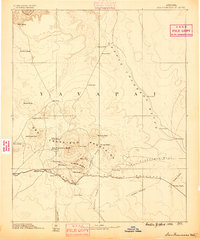
1886 · San Francisco Mtns
USGS Topo · 1:250,000
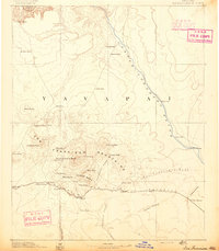
1891 · San Francisco Mtns
USGS Topo · 1:250,000
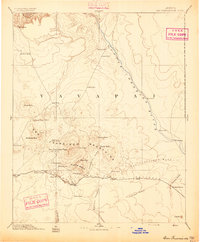
1894 · San Francisco Mtns
USGS Topo · 1:250,000
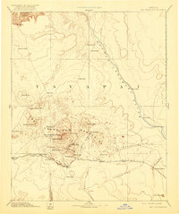
1899 · San Francisco Mtns
USGS Topo · 1:250,000
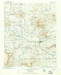
1908 · Flagstaff
USGS Topo · 1:125,000
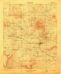
1912 · Flagstaff
USGS Topo · 1:125,000

1947 · Flagstaff
USGS Topo · 1:250,000
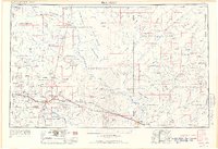
1954 · Flagstaff
USGS Topo · 1:250,000
1958 · Flagstaff
USGS Topo · 1:250,000
1960 · Flagstaff
USGS Topo · 1:250,000