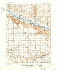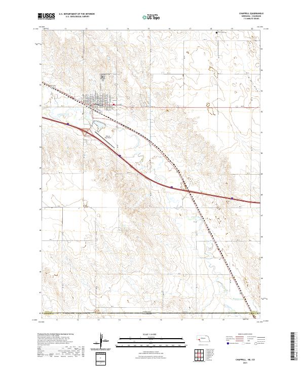
2021 Map of Chappell
USGS Topo · Published 2021About this map
Chappell serves as the focal point of this Nebraska panhandle landscape, situated just north of the Colorado border. The town's civic heart is anchored by the Deuel County Courthouse, while its periphery is marked by local landmarks like Billy G Ray Field and the Chappell Cem. The geography is defined by the east-west passage of Lodgepole Cr, which runs parallel to the regional transportation corridor. In the northeast, the terrain shifts into O Nell Draw, near the Mennonite Cem. This modern survey illustrates the organized section lines and county road network, such as RD 14 and RD 12, that impose a strict grid over the rolling High Plains. To the south, the Highline Canal cuts across the terrain, indicating the importance of water management in this agricultural region where Deuel and Sedgwick counties meet at the state line.
Find a feature on this map
26 named features on this map. Tap any name to fly to it.
Don’t see what you’re looking for? This feature index may not catch every label — zoom into the map to look around manually.
Map Details
Editions of this 2021 Chappell Map
This is the sole edition of this map. No revisions or reprints were ever made.
Historical Maps of Colorado Through Time
4 maps found