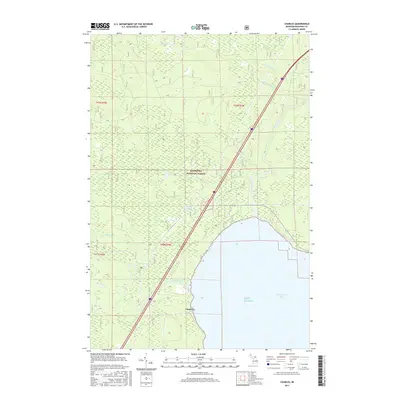
2017 Map of Charles
USGS Topo · Published 2017About this map
Charles sits along the northern shores of Lake Huron in this modern survey of Mackinac County. The settlement is positioned near the mouth of the Carp River as it empties into Saint Martin Bay. This coastal region is largely defined by the expansive Hiawatha National Forest, where a network of waterways including the Pine River, McCloud Cr, and Elmhirst Cr drain the timbered interior. The map illustrates a landscape shaped by both natural drainage and the major transit corridor of Interstate 75, which cuts diagonally across the forest toward the coast. Collectors and local historians can trace the course of numerous small tributaries like Garden Hill Cr and Home Cr, which weave through the townships of t43n r3w and t42n r3w.
Find a feature on this map
17 named features on this map. Tap any name to fly to it.
Don’t see what you’re looking for? This feature index may not catch every label — zoom into the map to look around manually.
Map Details
Editions of this 2017 Charles Map
This is the sole edition of this map. No revisions or reprints were ever made.
Other maps of this area
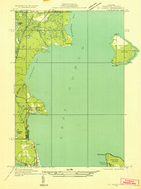
1931 · St Ignace NW
USGS Topo · 1:31,680
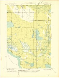
1931 · Moran NE
USGS Topo · 1:31,680
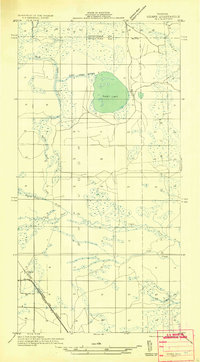
1931 · Ozark SE
USGS Topo · 1:31,680
1932 · St Ignace NE
USGS Topo · 1:31,680
1948 · Moran NE
USGS Topo · 1:31,680
1953 · Rudyard
USGS Topo · 1:24,000
1953 · Fibre
USGS Topo · 1:24,000
1954 · Sault Sainte Marie
USGS Topo · 1:250,000
1955 · Cheboygan
USGS Topo · 1:250,000
1956 · Sault Sainte Marie
USGS Topo · 1:250,000