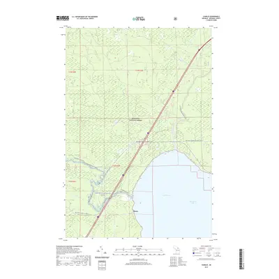
2019 Map of Charles
USGS Topo · Published 2019About this map
Charles sits along the northern edge of Saint Martin Bay on Lake Huron, serving as a coastal gateway to the dense timberlands of the Hiawatha National Forest. This 2019 survey captures a landscape defined by its multi-modal recreation networks, where the Carp Wild and Scenic River and Pine River Canoe Route (Water) provide traditional water passage through Mackinac County. The transition from the shore to the interior is marked by numerous low-lying wetlands and seasonal drainage systems, including McCloud Cr and Plotts Lake. Modern infrastructure for sportsmen and hikers is well-documented, featuring the Carp River Hiking Trail, Fishermans Hike, and the extensive Red Creek-Cedarville Snomo (Snow) trails, illustrating the contemporary importance of these lands for both conservation and public recreation.
Find a feature on this map
23 named features on this map. Tap any name to fly to it.
Don’t see what you’re looking for? This feature index may not catch every label — zoom into the map to look around manually.
Map Details
Editions of this 2019 Charles Map
This is the sole edition of this map. No revisions or reprints were ever made.
Other maps of this area
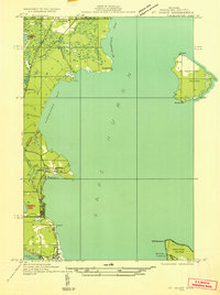
1931 · St Ignace NW
USGS Topo · 1:31,680
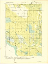
1931 · Moran NE
USGS Topo · 1:31,680
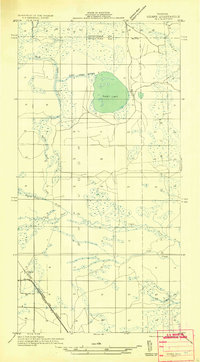
1931 · Ozark SE
USGS Topo · 1:31,680
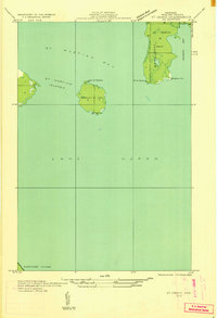
1932 · St Ignace NE
USGS Topo · 1:31,680
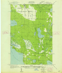
1948 · Moran NE
USGS Topo · 1:31,680
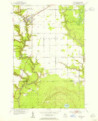
1953 · Rudyard
USGS Topo · 1:24,000
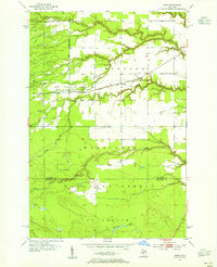
1953 · Fibre
USGS Topo · 1:24,000
1954 · Sault Sainte Marie
USGS Topo · 1:250,000
1955 · Cheboygan
USGS Topo · 1:250,000
1956 · Sault Sainte Marie
USGS Topo · 1:250,000