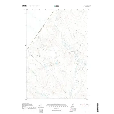
2021 Map of Charles Pond
USGS Topo · Published 2021About this map
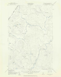
The international border cuts across the northwestern corner of this territory, defining a heavily forested and remote section of the Maine North Woods. Much of the landscape is shaped by the complex drainage systems of the Big Black River and its various tributaries. The Little Saint Roch River and Shields Branch wind through the hills, creating wetland pockets and feeding into the larger river system.
Find a feature on this map
12 named features on this map. Tap any name to fly to it.
Don’t see what you’re looking for? This feature index may not catch every label — zoom into the map to look around manually.
Map Details
Editions of this 2021 Charles Pond Map
This is the sole edition of this map. No revisions or reprints were ever made.
Other maps of this area
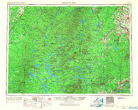
1954 · Presque Isle
USGS Topo · 1:250,000
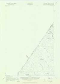
1955 · Little East Lake
USGS Topo · 1:62,500
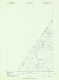
1955 · Depot Lake
USGS Topo · 1:62,500
1955 · Seven Islands
USGS Topo · 1:62,500
1958 · Presque Isle
USGS Topo · 1:250,000
1960 · Presque Isle
USGS Topo · 1:250,000
1962 · Edmundston
USGS Topo · 1:250,000
1976 · Seven Islands
USGS Topo · 1:24,000
1976 · East Lake SE
USGS Topo · 1:24,000
1976 · Depot Lake
USGS Topo · 1:24,000