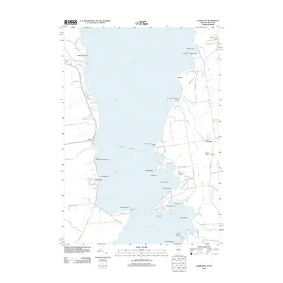
2012 Map of Charlotte
USGS Topo · Published 2012About this map
Lake Champlain serves as the central corridor for this 2012 study, connecting the coastal communities of Essex on the western shore with Charlotte to the east. The waterway remains a primary artery of transit and leisure, evidenced by the active Essex Ferry route and specialized maritime infrastructure like the Essex Boatworks Seaplane Base and Point Bay Marina. The landscape is defined by its deep indentation of coves and bays, including McNeil Cove and Converse Bay, while the shoreline is dotted with prominent landmarks such as the Split Rock Point Light and Holmes Creek Covered Bridge.
Find a feature on this map
100 named features on this map. Tap any name to fly to it.
Don’t see what you’re looking for? This feature index may not catch every label — zoom into the map to look around manually.
Map Details
Editions of this 2012 Charlotte Map
This is the sole edition of this map. No revisions or reprints were ever made.
Other maps of this area

1894 · Port Henry
USGS Topo · 1:62,500

1895 · Willsboro
USGS Topo · 1:62,500

1898 · Port Henry
USGS Topo · 1:62,500

1903 · Middlebury
USGS Topo · 1:62,500

1905 · Middlebury
USGS Topo · 1:62,500

1906 · Burlington
USGS Topo · 1:62,500

1919 · Burlington
USGS Topo · 1:62,500

1920 · Middlebury
USGS Topo · 1:62,500

1941 · Willsboro
USGS Topo · 1:62,500

1943 · Willsboro
USGS Topo · 1:62,500