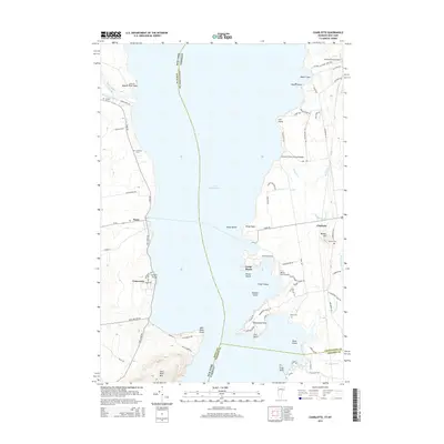
2015 Map of Charlotte
USGS Topo · Published 2015About this map
Lake Champlain serves as the central divide on this survey, separating the shores of New York and Vermont. The eastern shoreline is defined by the town of Charlotte, characterized by a series of points and islands including Wings Point, Cedar Island, and Thompsons Point. In Vermont, the Holmes Creek Covered Bridge stands as a significant landmark near Meach Cove, while the interior landscape is dotted with family-named features like Barber Hill and several local burying grounds such as Thorp Cem and Barber Cem.
Find a feature on this map
84 named features on this map. Tap any name to fly to it.
Don’t see what you’re looking for? This feature index may not catch every label — zoom into the map to look around manually.
Map Details
Editions of this 2015 Charlotte Map
This is the sole edition of this map. No revisions or reprints were ever made.
Other maps of this area

1894 · Port Henry
USGS Topo · 1:62,500

1895 · Willsboro
USGS Topo · 1:62,500

1898 · Port Henry
USGS Topo · 1:62,500

1903 · Middlebury
USGS Topo · 1:62,500

1905 · Middlebury
USGS Topo · 1:62,500

1906 · Burlington
USGS Topo · 1:62,500

1919 · Burlington
USGS Topo · 1:62,500

1920 · Middlebury
USGS Topo · 1:62,500

1941 · Willsboro
USGS Topo · 1:62,500

1943 · Willsboro
USGS Topo · 1:62,500