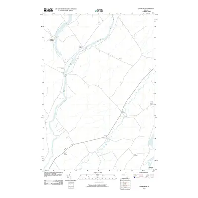
2010 Map of Chase Mills
USGS Topo · Published 2010About this map
Grass River and the Raquette River anchor this rural Saint Lawrence County landscape, where small crossroads hamlets define the settlement pattern. At Chase Mills, the river narrows, while surrounding intersections like Chamberlain Corners, Allen Corners, and Dixon Corners speak to a geography organized around early land divisions and farming hubs. For those tracing family histories, the map identifies several distinct burial grounds, including the Chamberlain Corners Cemetery and Haskell Ridge Cemetery near the low rise of Haskell Ridge. The map also captures the periphery of larger villages at Norwood and Norfolk, documenting the transition from creek-side pastures along Coles Creek and Trout Brook to more established residential centers. This document provides a clear view of the northern New York countryside before more recent development, emphasizing the durable network of rural roads that connect these long-standing farming communities.
Find a feature on this map
19 named features on this map. Tap any name to fly to it.
Don’t see what you’re looking for? This feature index may not catch every label — zoom into the map to look around manually.
Map Details
Editions of this 2010 Chase Mills Map
This is the sole edition of this map. No revisions or reprints were ever made.
Other maps of this area

1905 · Waddington
USGS Topo · 1:62,500

1906 · Massena
USGS Topo · 1:62,500

1907 · Massena
USGS Topo · 1:62,500

1908 · Potsdam
USGS Topo · 1:62,500

1910 · Canton
USGS Topo · 1:62,500

1911 · Canton
USGS Topo · 1:62,500

1942 · Waddington
USGS Topo · 1:24,000

1942 · Chase Mills
USGS Topo · 1:24,000

1942 · Murphy Island
USGS Topo · 1:24,000

1942 · Norfolk
USGS Topo · 1:24,000