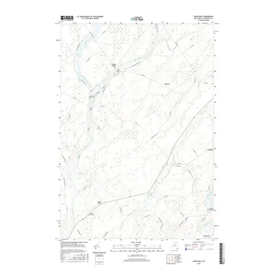
2016 Map of Chase Mills
USGS Topo · Published 2016About this map
The Grass River and Raquette River define the local topography of this Saint Lawrence County landscape, which remains characterized by its rural crossings and small settlements. The community of Chase Mills sits at a prominent bend in the river, while the tiny hamlet of Dishaw and a portion of Norfolk anchor the eastern edges. The area is marked by numerous family-named landmarks and historical sites, including the Chamberlain Corners Cem and the Haskell Ridge Cem near the elevated Haskell Ridge. Toward the southeast, the Yaleville Road Bridge provides a crossing over the Raquette, while a dense network of country roads like Irish Settlement Rd and Tiernan Ridge Rd connect the isolated farmsteads and wooded tracts. This 2016 survey captures the enduring layout of these riverside New York townships, where the natural drainage of Trout Brook and Coles Creek continues to influence the placement of cemeteries and old farm lanes.
Find a feature on this map
47 named features on this map. Tap any name to fly to it.
Don’t see what you’re looking for? This feature index may not catch every label — zoom into the map to look around manually.
Map Details
Editions of this 2016 Chase Mills Map
This is the sole edition of this map. No revisions or reprints were ever made.
Other maps of this area

1905 · Waddington
USGS Topo · 1:62,500

1906 · Massena
USGS Topo · 1:62,500

1907 · Massena
USGS Topo · 1:62,500

1908 · Potsdam
USGS Topo · 1:62,500

1910 · Canton
USGS Topo · 1:62,500

1911 · Canton
USGS Topo · 1:62,500

1942 · Waddington
USGS Topo · 1:24,000

1942 · Chase Mills
USGS Topo · 1:24,000

1942 · Murphy Island
USGS Topo · 1:24,000

1942 · Norfolk
USGS Topo · 1:24,000