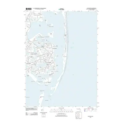
2012 Map of Chatham
USGS Topo · Published 2012About this map
Chatham sits at the dynamic elbow of Cape Cod, where the Atlantic Ocean meets a complex network of harbors and inlets. This early 21st-century survey documents a landscape defined by its maritime heritage and shifting sands, from the protective Nauset Beach Dunes to the expansive reach of Monomoy Beach. The map reveals a dense layering of local history in the town center, particularly through its well-preserved funerary sites such as the Chatham Old Burying Ground and Old Cemeteries Cem North.
Find a feature on this map
153 named features on this map. Tap any name to fly to it.
Don’t see what you’re looking for? This feature index may not catch every label — zoom into the map to look around manually.
Map Details
Editions of this 2012 Chatham Map
This is the sole edition of this map. No revisions or reprints were ever made.
Other maps of this area

1887 · Wellfleet
USGS Topo · 1:62,500

1887 · Yarmouth
USGS Topo · 1:62,500

1888 · Chatham
USGS Topo · 1:62,500

1889 · Yarmouth
USGS Topo · 1:62,500

1889 · Wellfleet
USGS Topo · 1:62,500

1893 · Chatham
USGS Topo · 1:62,500

1893 · Yarmouth
USGS Topo · 1:62,500

1893 · Wellfleet
USGS Topo · 1:62,500

1917 · Chatham
USGS Topo · 1:62,500

1942 · Cape Cod Bay
USGS Topo · 1:125,000