
1893 Map of Yarmouth
USGS Topo · Published 1893About this map
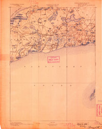
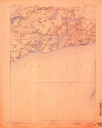
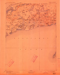
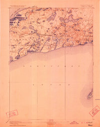
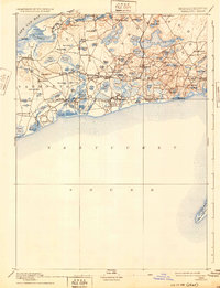
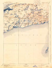
Cape Cod Bay defines the northern shoreline of this late-nineteenth-century study, where a dense network of coastal villages and interior ponds reveals the established maritime and residential character of the mid-Cape. The Old Colony Railroad Cape Cod Branch cuts through the center of the landscape, connecting settlements like South Dennis and North Harwich while bypassing the more isolated coastal points. The interior is characterized by a high density of small water bodies, such as Seymour Pond and Bakers Pond, often bordered by local landmarks like German's Hill and Town House. To the south, the intricate salt marshes and inlets near Harwich Port and West Dennis show a landscape shaped by tide and trade, extending even to the remote tip of Monomoy Island. This documentation captures the area before the modern highway system, when local life was anchored to the rail depots and harbor wharves.
Find a feature on this map
92 named features on this map. Tap any name to fly to it.
Don’t see what you’re looking for? This feature index may not catch every label — zoom into the map to look around manually.
Map Details
Editions of this 1893 Yarmouth Map
7 editions found
Other maps of this area

1887 · Muskeget
USGS Topo · 1:62,500

1887 · Wellfleet
USGS Topo · 1:62,500

1887 · Yarmouth
USGS Topo · 1:62,500

1888 · Barnstable
USGS Topo · 1:62,500

1888 · Chatham
USGS Topo · 1:62,500

1889 · Muskeget
USGS Topo · 1:62,500

1889 · Yarmouth
USGS Topo · 1:62,500

1889 · Wellfleet
USGS Topo · 1:62,500

1893 · Chatham
USGS Topo · 1:62,500

1893 · Muskeget
USGS Topo · 1:62,500