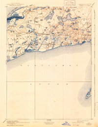
1893 Map of Yarmouth
USGS Topo · Published 1942About this map
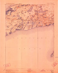
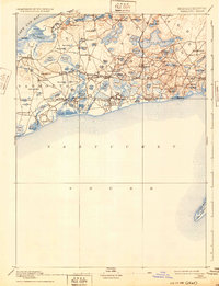
Cape Cod's mid-section at the end of the nineteenth century is defined by its dense network of kettle ponds and the vital transport corridors of the Old Colony Railroad. This reconnaissance survey reveals the historical footprint of maritime villages like West Dennis, Harwich Port, and West Yarmouth before modern development changed the landscape. Inland, the terrain is dominated by a complex glacial hydrology, featuring prominent water bodies such as Long Pond, Hinckleys Pond, and Scargo Lake near Scargo Hill. The Cape Cod Branch rail line connects these coastal hubs, tracing a path through South Dennis and North Harwich. Along the southern shore, Monomoy Island and its surrounding shoals guard the entrance to Nantucket Sound, while the northern coast opens to the sweeping expanse of Cape Cod Bay near Nobscusset Pt.
Find a feature on this map
79 named features on this map. Tap any name to fly to it.
Don’t see what you’re looking for? This feature index may not catch every label — zoom into the map to look around manually.
Map Details
Editions of this 1893 Yarmouth Map
7 editions found

Other maps of this area

1887 · Muskeget
USGS Topo · 1:62,500

1887 · Wellfleet
USGS Topo · 1:62,500

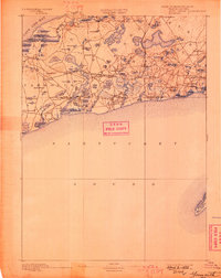
1887 · Yarmouth
USGS Topo · 1:62,500

1888 · Barnstable
USGS Topo · 1:62,500

1888 · Chatham
USGS Topo · 1:62,500

1889 · Muskeget
USGS Topo · 1:62,500

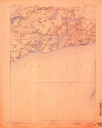
1889 · Yarmouth
USGS Topo · 1:62,500

1889 · Wellfleet
USGS Topo · 1:62,500

1893 · Chatham
USGS Topo · 1:62,500

1893 · Muskeget
USGS Topo · 1:62,500