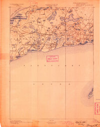
1893 Map of Yarmouth
USGS Topo · Published 1898About this map
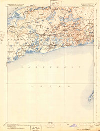
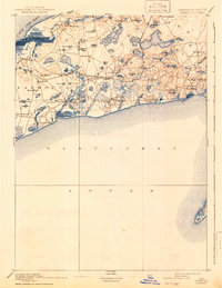
Cape Cod’s mid-section reveals a landscape defined by its glacial kettle ponds and emerging rail connections during the late nineteenth century. The Old Colony Railroad Cape Cod Branch cuts across the peninsula, linking coastal villages like Harwich Port and South Dennis to the broader regional economy. This network supported the growth of maritime settlements along the north shore at Nobscusset Harbor and south toward Nantucket Sound, where the topography shifts into the sands of Powers Neck and the isolated Monomoy Island.
Find a feature on this map
86 named features on this map. Tap any name to fly to it.
Don’t see what you’re looking for? This feature index may not catch every label — zoom into the map to look around manually.
Map Details
Editions of this 1893 Yarmouth Map
7 editions found

Other maps of this area

1887 · Muskeget
USGS Topo · 1:62,500

1887 · Wellfleet
USGS Topo · 1:62,500

1887 · Yarmouth
USGS Topo · 1:62,500

1888 · Barnstable
USGS Topo · 1:62,500

1888 · Chatham
USGS Topo · 1:62,500

1889 · Muskeget
USGS Topo · 1:62,500

1889 · Yarmouth
USGS Topo · 1:62,500

1889 · Wellfleet
USGS Topo · 1:62,500

1893 · Chatham
USGS Topo · 1:62,500

1893 · Muskeget
USGS Topo · 1:62,500