
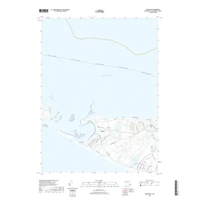
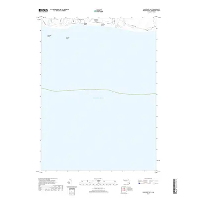
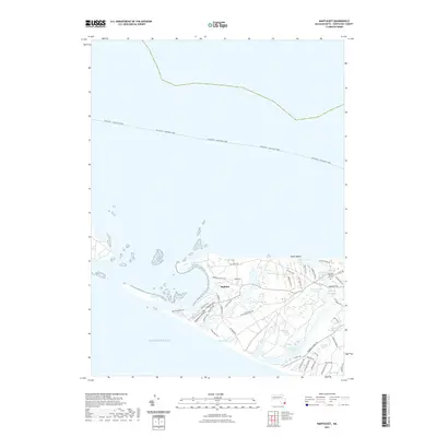
1887 Map of Muskeget
USGS Topo · Published 1887About this map
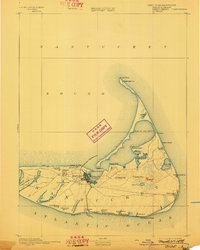
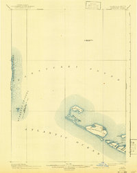
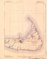
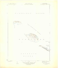
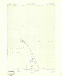
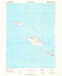
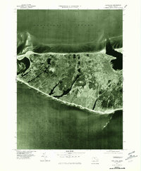
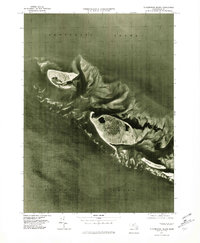
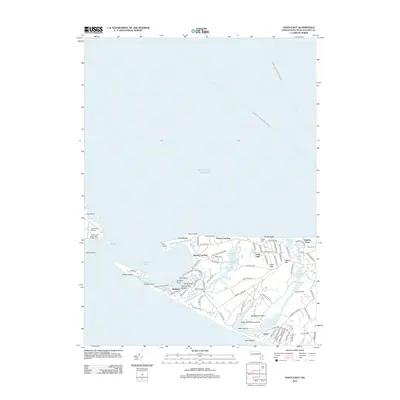
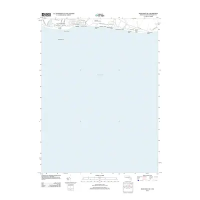
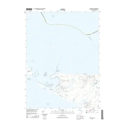
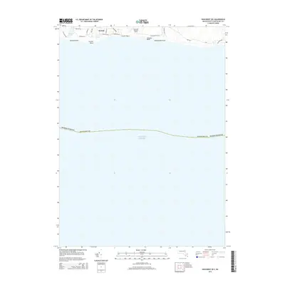
Muskeget Id. and Tuckernuck Id. anchor this maritime survey of the western approaches to Nantucket. This chart documents the shifting shoals and isolated outposts of the sound during a period of critical coastal navigation. The presence of the Cross Rip Shoal Light Ship and multiple L.S.S. (Life-Saving Service) stations highlights the navigational hazards inherent in the Muskeget Channel and the surrounding Atlantic Ocean. Along the western edge of Nantucket Id., the map details the intricate waterways of Maddaket Harbor, including Further Cr. and Broad Cr., as well as the prominent landmarks of Smith Pt. and Great Neck. The transition from Marthas Vineyard across to the smaller landmasses like Skiffs Id. illustrates the fragile, sandy geography of the Massachusetts coast at the end of the nineteenth century.
Find a feature on this map
22 named features on this map. Tap any name to fly to it.
Don’t see what you’re looking for? This feature index may not catch every label — zoom into the map to look around manually.
Map Details
Editions of this 1887 Muskeget Map
This is the sole edition of this map. No revisions or reprints were ever made.
Historical Maps of Edgartown Through Time
60 maps found
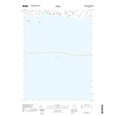
1887 Muskeget
Nantucket County, MA

1889 Muskeget
Nantucket County, MA

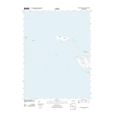
1889 Nantucket
Nantucket County, MA

1893 Muskeget
Nantucket County, MA
1893 Nantucket
Nantucket County, MA
1899 Muskeget
Nantucket County, MA
1901 Nantucket
Nantucket County, MA

1942 Nantucket
Nantucket County, MA
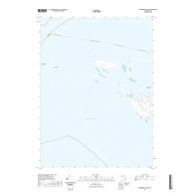
1944 Tuckernuck Island
Nantucket County, MA
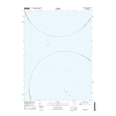
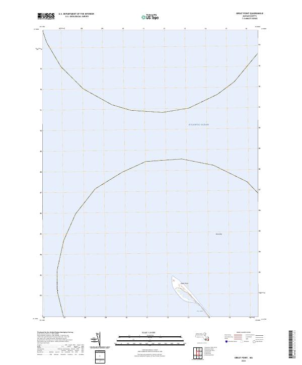
1945 Great Point
Nantucket County, MA
1945 Nantucket
Nantucket County, MA
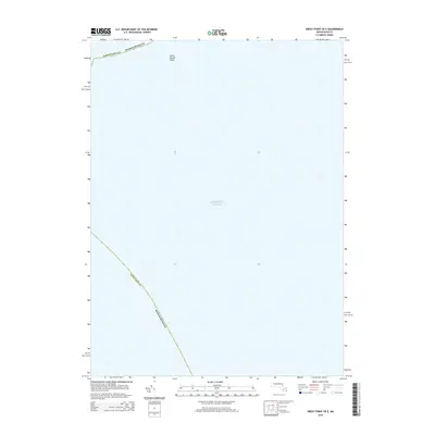
1951 Great Point
Nantucket County, MA
1951 Nantucket
Nantucket County, MA
1951 Tuckernuck Island
Nantucket County, MA
1972 Great Point
Nantucket County, MA
1972 Nantucket
Nantucket County, MA
1972 Tuckernuck Island
Nantucket County, MA

1977 Great Point
Nantucket County, MA
1977 Nantucket
Nantucket County, MA
1977 Tuckernuck Island
Nantucket County, MA
2012 Great Point
Nantucket County, MA
2012 Great Point OE E
Nantucket County, MA
2012 Nantucket
Nantucket County, MA
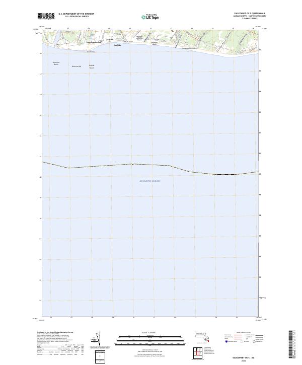
2012 Nantucket OE S
Nantucket County, MA
2012 Siasconset OE E
Nantucket County, MA
2012 Siasconset OE SE
Nantucket County, MA
2012 Siasconset OE S
Nantucket County, MA
2012 Tuckernuck Island
Nantucket County, MA
2015 Great Point
Nantucket County, MA
2015 Great Point OE E
Nantucket County, MA
2015 Nantucket
Nantucket County, MA
2015 Nantucket OE S
Nantucket County, MA
2015 Siasconset OE E
Nantucket County, MA
2015 Siasconset OE SE
Nantucket County, MA
2015 Siasconset OE S
Nantucket County, MA
2015 Tuckernuck Island
Nantucket County, MA
2018 Great Point
Nantucket County, MA
2018 Great Point OE E
Nantucket County, MA
2018 Nantucket
Nantucket County, MA
2018 Nantucket OE S
Nantucket County, MA
2018 Siasconset OE E
Nantucket County, MA
2018 Siasconset OE SE
Nantucket County, MA
2018 Siasconset OE S
Nantucket County, MA
2018 Tuckernuck Island
Nantucket County, MA
2021 Great Point
Nantucket County, MA
2021 Great Point OE E
Nantucket County, MA
2021 Nantucket
Nantucket County, MA
2021 Nantucket OE S
Nantucket County, MA
2021 Siasconset OE E
Nantucket County, MA
2021 Siasconset OE SE
Nantucket County, MA
2021 Siasconset OE S
Nantucket County, MA
2021 Tuckernuck Island
Nantucket County, MA
2024 Great Point
Nantucket County, MA
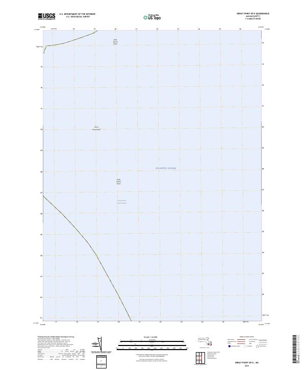
2024 Great Point OE E
Nantucket County, MA
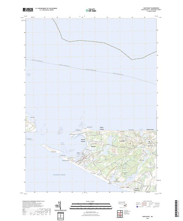
2024 Nantucket
Nantucket County, MA
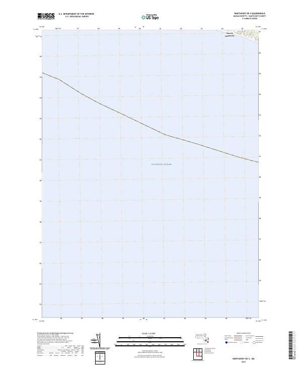
2024 Nantucket OE S
Nantucket County, MA
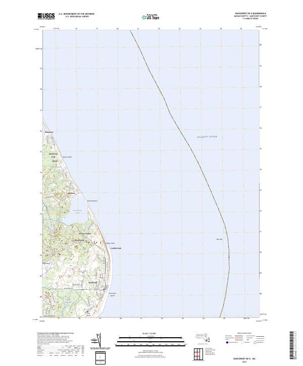
2024 Siasconset OE E
Nantucket County, MA
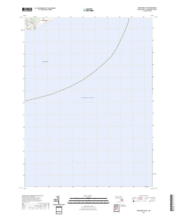
2024 Siasconset OE SE
Nantucket County, MA
2024 Siasconset OE S
Nantucket County, MA
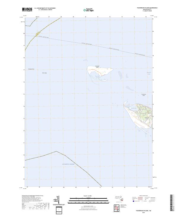
2024 Tuckernuck Island
Nantucket County, MA