
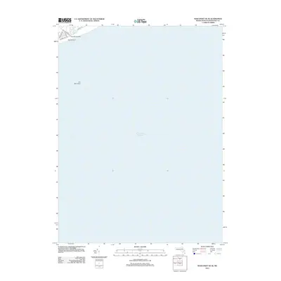
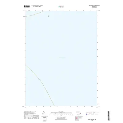
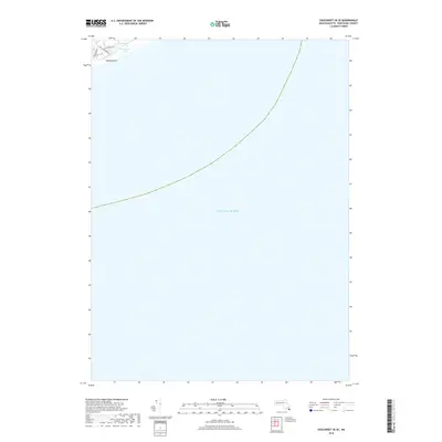
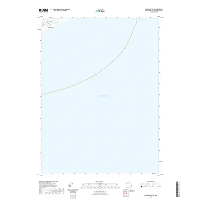
1893 Map of Muskeget
USGS Topo · Published 1893About this map
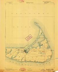
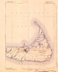
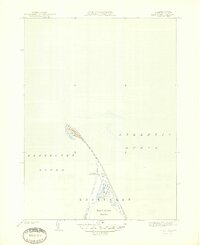
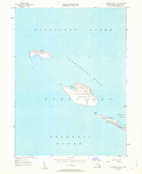
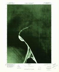
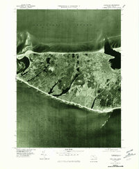
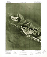
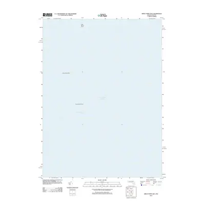
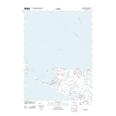
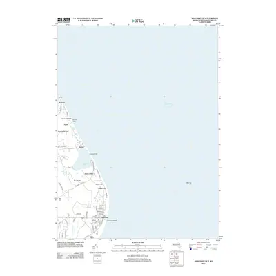
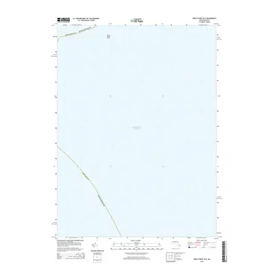
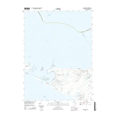
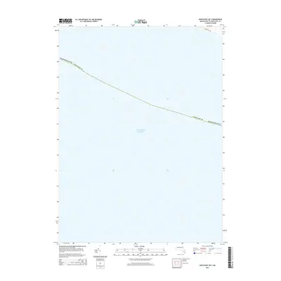
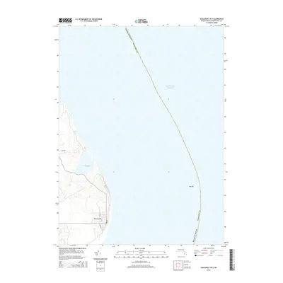
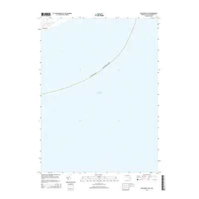
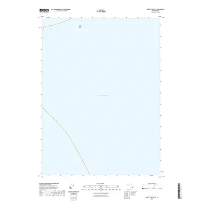
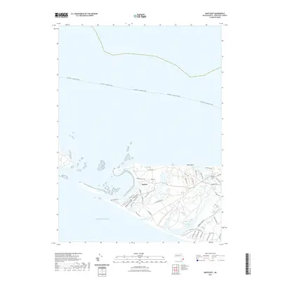
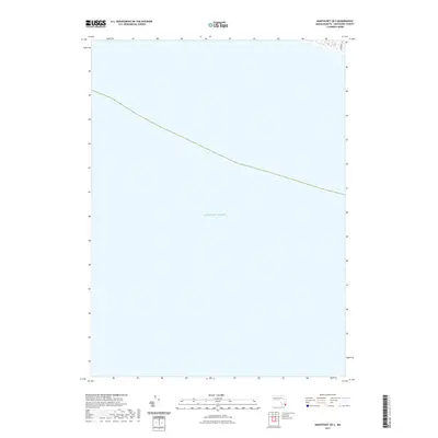
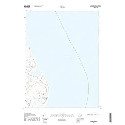
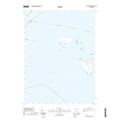
Tuckernuck Id. and Muskeget Id. sit at the western approach to the island, captured here as they appeared in the late nineteenth century. This coastal survey detail highlights the intricate shorelines and tidal systems before modern changes, specifically the northwestern tip of Nantucket Island near Eel Point. The map provides an exacting record of the hydrologic features on Tuckernuck Id., including North Pond and East Pond, alongside the network of waterways feeding into Maddequet Harbor. Maritime researchers can trace the series of small creeks such as Hither Cr., Broad Cr., and Narrow Cr. that defined the marshes of this era. Published under the direction of J.W. Powell, the sheet documents the interface where Nantucket Sound meets the Atlantic Ocean.
Find a feature on this map
13 named features on this map. Tap any name to fly to it.
Don’t see what you’re looking for? This feature index may not catch every label — zoom into the map to look around manually.
Map Details
Editions of this 1893 Muskeget Map
This is the sole edition of this map. No revisions or reprints were ever made.
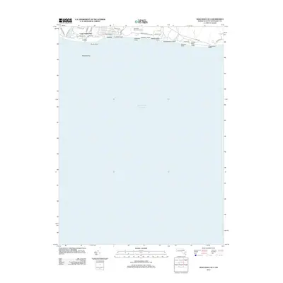
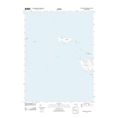
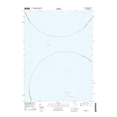
Historical Maps of Edgartown Through Time
60 maps found

1887 Muskeget
Nantucket County, MA

1889 Muskeget
Nantucket County, MA

1889 Nantucket
Nantucket County, MA
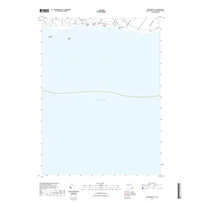
1893 Muskeget
Nantucket County, MA
1893 Nantucket
Nantucket County, MA
1899 Muskeget
Nantucket County, MA
1901 Nantucket
Nantucket County, MA

1942 Nantucket
Nantucket County, MA
1944 Tuckernuck Island
Nantucket County, MA
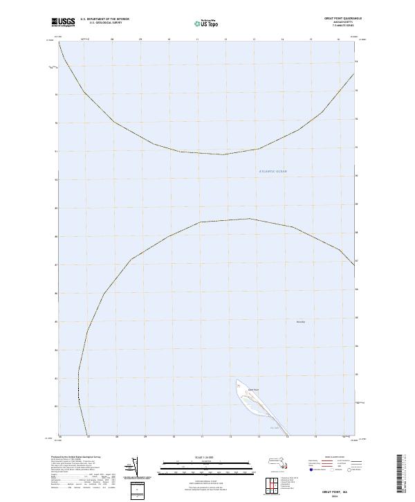
1945 Great Point
Nantucket County, MA
1945 Nantucket
Nantucket County, MA
1951 Great Point
Nantucket County, MA
1951 Nantucket
Nantucket County, MA
1951 Tuckernuck Island
Nantucket County, MA
1972 Great Point
Nantucket County, MA
1972 Nantucket
Nantucket County, MA
1972 Tuckernuck Island
Nantucket County, MA
1977 Great Point
Nantucket County, MA
1977 Nantucket
Nantucket County, MA
1977 Tuckernuck Island
Nantucket County, MA
2012 Great Point
Nantucket County, MA
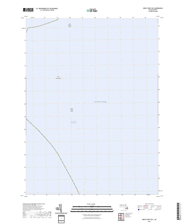
2012 Great Point OE E
Nantucket County, MA
2012 Nantucket
Nantucket County, MA
2012 Nantucket OE S
Nantucket County, MA
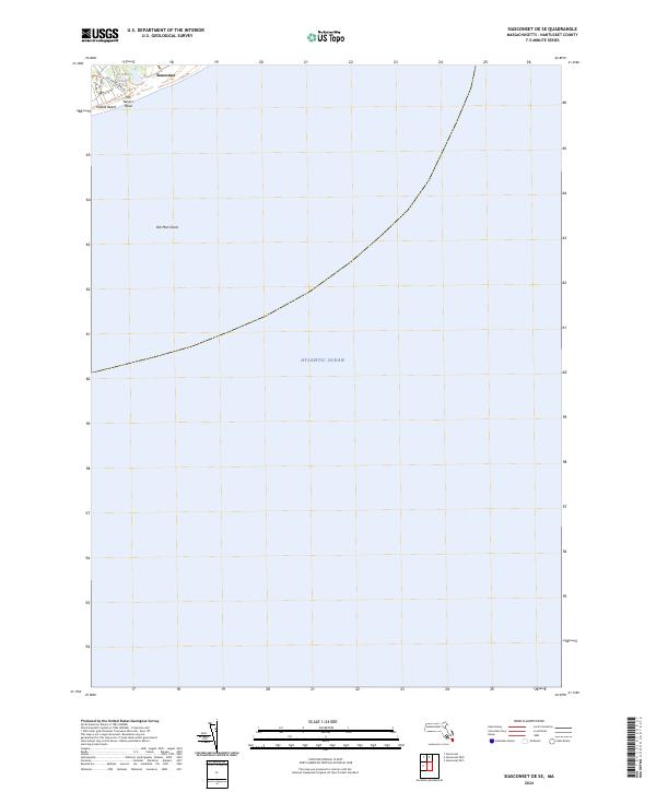
2012 Siasconset OE E
Nantucket County, MA
2012 Siasconset OE SE
Nantucket County, MA
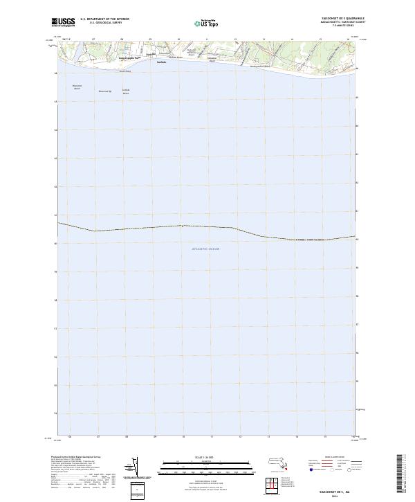
2012 Siasconset OE S
Nantucket County, MA
2012 Tuckernuck Island
Nantucket County, MA
2015 Great Point
Nantucket County, MA
2015 Great Point OE E
Nantucket County, MA
2015 Nantucket
Nantucket County, MA
2015 Nantucket OE S
Nantucket County, MA
2015 Siasconset OE E
Nantucket County, MA
2015 Siasconset OE SE
Nantucket County, MA
2015 Siasconset OE S
Nantucket County, MA
2015 Tuckernuck Island
Nantucket County, MA
2018 Great Point
Nantucket County, MA
2018 Great Point OE E
Nantucket County, MA
2018 Nantucket
Nantucket County, MA
2018 Nantucket OE S
Nantucket County, MA
2018 Siasconset OE E
Nantucket County, MA
2018 Siasconset OE SE
Nantucket County, MA
2018 Siasconset OE S
Nantucket County, MA
2018 Tuckernuck Island
Nantucket County, MA
2021 Great Point
Nantucket County, MA
2021 Great Point OE E
Nantucket County, MA
2021 Nantucket
Nantucket County, MA
2021 Nantucket OE S
Nantucket County, MA
2021 Siasconset OE E
Nantucket County, MA
2021 Siasconset OE SE
Nantucket County, MA
2021 Siasconset OE S
Nantucket County, MA
2021 Tuckernuck Island
Nantucket County, MA
2024 Great Point
Nantucket County, MA
2024 Great Point OE E
Nantucket County, MA
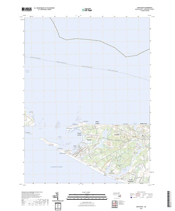
2024 Nantucket
Nantucket County, MA
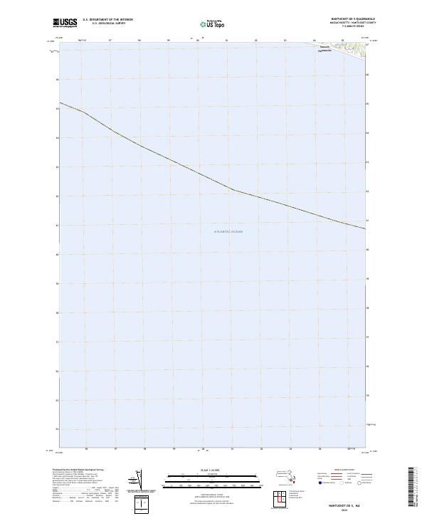
2024 Nantucket OE S
Nantucket County, MA
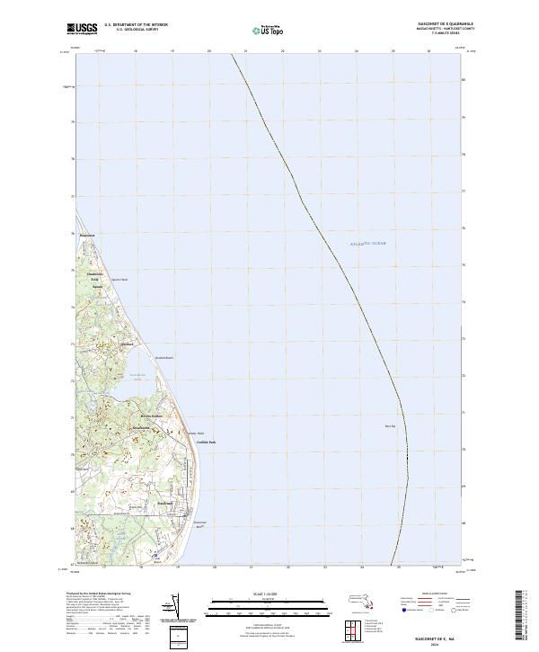
2024 Siasconset OE E
Nantucket County, MA
2024 Siasconset OE SE
Nantucket County, MA
2024 Siasconset OE S
Nantucket County, MA
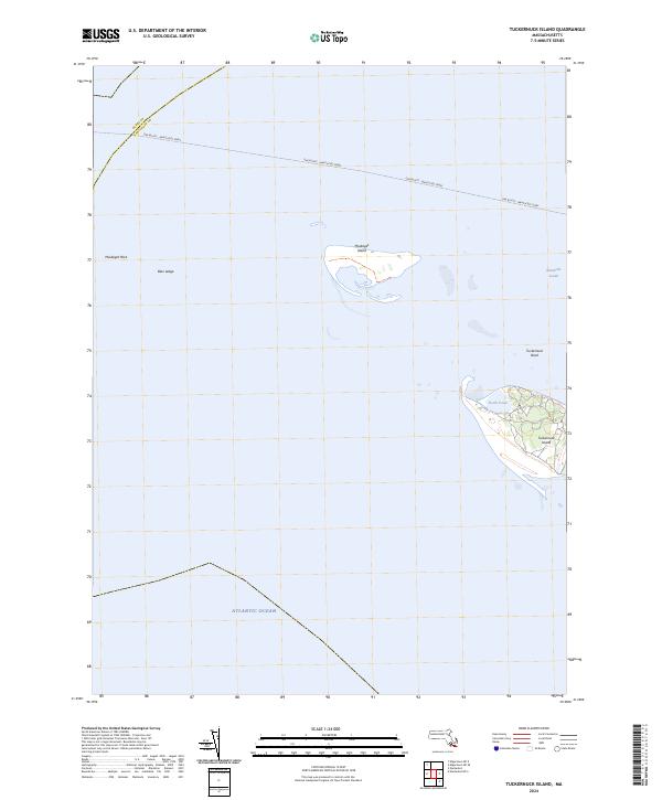
2024 Tuckernuck Island
Nantucket County, MA