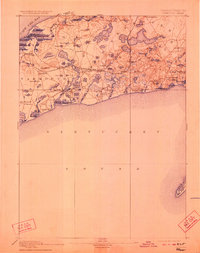
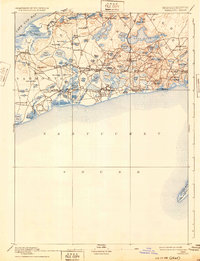
1893 Map of Yarmouth
USGS Topo · Published 1923About this map
The maritime and rail corridor of mid-Cape Cod is meticulously detailed in this late 19th-century survey, conducted by E.B. Clark for the U.S. Geological Survey. The landscape is defined by the Old Colony Railroad and its Cape Cod Branch, which provided critical connections for villages like South Dennis and North Harwich. These rail lines weave through a dense network of kettle ponds, including Long Pond and Seymour Pond, illustrating the glacial topography that shaped local commerce and settlement patterns.
Find a feature on this map
87 named features on this map. Tap any name to fly to it.
Don’t see what you’re looking for? This feature index may not catch every label — zoom into the map to look around manually.
Map Details
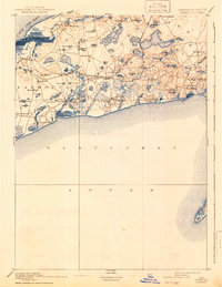
Editions of this 1893 Yarmouth Map
7 editions found

Other maps of this area

1887 · Muskeget
USGS Topo · 1:62,500

1887 · Wellfleet
USGS Topo · 1:62,500

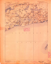
1887 · Yarmouth
USGS Topo · 1:62,500

1888 · Barnstable
USGS Topo · 1:62,500

1888 · Chatham
USGS Topo · 1:62,500

1889 · Muskeget
USGS Topo · 1:62,500

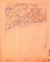
1889 · Yarmouth
USGS Topo · 1:62,500

1889 · Wellfleet
USGS Topo · 1:62,500

1893 · Chatham
USGS Topo · 1:62,500

1893 · Muskeget
USGS Topo · 1:62,500