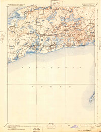
1893 Map of Yarmouth
USGS Topo · Published 1932About this map
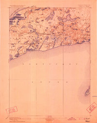
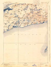
Yarmouth and its neighboring villages on the mid-Cape are captured here in a late nineteenth-century survey, before modern development reshaped the coastline. The Old Colony Railroad Cape Cod Branch serves as the primary artery for the region, with several stations facilitating transport between South Dennis and Harwich. This era shows a landscape defined by its numerous glacial water bodies, such as Long Pond and Mill Ponds, which were vital to the local economy and early tourism. The shoreline remains intricate and undeveloped, featuring landmarks like Nobscusset Pt. on Cape Cod Bay and the isolated Monomoy Island to the south. Small inland clusters around the Town House in Yarmouth and Dennis indicate the established civic centers of these seafaring communities. The detailed topography by E.B. Clark highlights prominent elevations such as Scargo Hill and German's Hill, offering a clear view of the heights that guided early mariners.
Find a feature on this map
88 named features on this map. Tap any name to fly to it.
Don’t see what you’re looking for? This feature index may not catch every label — zoom into the map to look around manually.
Map Details
Editions of this 1893 Yarmouth Map
7 editions found

Other maps of this area

1887 · Muskeget
USGS Topo · 1:62,500

1887 · Wellfleet
USGS Topo · 1:62,500

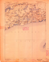
1887 · Yarmouth
USGS Topo · 1:62,500

1888 · Barnstable
USGS Topo · 1:62,500

1888 · Chatham
USGS Topo · 1:62,500

1889 · Muskeget
USGS Topo · 1:62,500

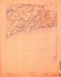
1889 · Yarmouth
USGS Topo · 1:62,500

1889 · Wellfleet
USGS Topo · 1:62,500

1893 · Chatham
USGS Topo · 1:62,500

1893 · Muskeget
USGS Topo · 1:62,500