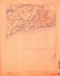
1893 Map of Yarmouth
USGS Topo · Published 1905About this map
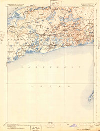
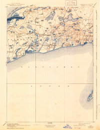
Old Colony Railroad Cape Cod Branch defines the mid-Cape's Victorian-era connectivity, linking a series of coastal villages and inland stations before the rise of the modern highway system. This landscape is dominated by the complex water systems of the terminal moraine, where hundreds of kettle ponds like Scargo Lake and Follins Pond dot the terrain between Cape Cod Bay and Nantucket Sound.
Find a feature on this map
91 named features on this map. Tap any name to fly to it.
Don’t see what you’re looking for? This feature index may not catch every label — zoom into the map to look around manually.
Map Details
Editions of this 1893 Yarmouth Map
7 editions found

Other maps of this area

1887 · Muskeget
USGS Topo · 1:62,500

1887 · Wellfleet
USGS Topo · 1:62,500

1887 · Yarmouth
USGS Topo · 1:62,500

1888 · Barnstable
USGS Topo · 1:62,500

1888 · Chatham
USGS Topo · 1:62,500

1889 · Muskeget
USGS Topo · 1:62,500

1889 · Yarmouth
USGS Topo · 1:62,500

1889 · Wellfleet
USGS Topo · 1:62,500

1893 · Chatham
USGS Topo · 1:62,500

1893 · Muskeget
USGS Topo · 1:62,500