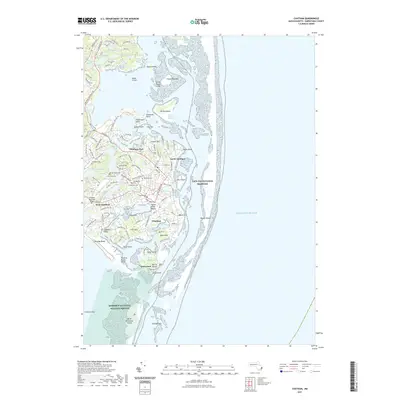
2021 Map of Chatham
USGS Topo · Published 2021About this map
Chatham and its coastal villages anchor this 2021 study of the Lower Cape's dynamic shoreline. The landscape is defined by its complex maritime geography, where the Mitchell River and Oyster Pond River meet the sea at Aunt Lydias Cove. Landward, the map details established residential and aviation hubs, including the Chatham Municipal Airport, alongside significant conservation areas like the Monomoy National Wildlife Refuge and the southern reaches of the Cape Cod National Seashore.
Find a feature on this map
78 named features on this map. Tap any name to fly to it.
Don’t see what you’re looking for? This feature index may not catch every label — zoom into the map to look around manually.
Map Details
Editions of this 2021 Chatham Map
This is the sole edition of this map. No revisions or reprints were ever made.
Other maps of this area

1887 · Wellfleet
USGS Topo · 1:62,500

1887 · Yarmouth
USGS Topo · 1:62,500

1888 · Chatham
USGS Topo · 1:62,500

1889 · Yarmouth
USGS Topo · 1:62,500

1889 · Wellfleet
USGS Topo · 1:62,500

1893 · Chatham
USGS Topo · 1:62,500

1893 · Yarmouth
USGS Topo · 1:62,500

1893 · Wellfleet
USGS Topo · 1:62,500

1917 · Chatham
USGS Topo · 1:62,500

1942 · Cape Cod Bay
USGS Topo · 1:125,000