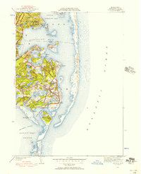
1947 Map of Chatham
USGS Topo · Published 1956About this map
The coastal landscapes of the lower Cape Cod elbow are defined by a shifting network of shoals, harbors, and islands. In Chatham, the maritime heritage is clearly visible through the presence of the Chatham Lighthouse and the Stage Harbor Lighthouse, which guarded the treacherous waters near Monomoy Island. The interior is dotted with numerous glacial kettle ponds such as Lovers Lake and Stillwater Pond, while the village centers of North Chatham, West Chatham, and the main town show a settled community established around trade and the sea.
Find a feature on this map
66 named features on this map. Tap any name to fly to it.
Don’t see what you’re looking for? This feature index may not catch every label — zoom into the map to look around manually.
Map Details
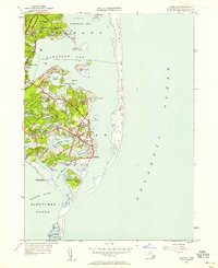
Editions of this 1947 Chatham Map
2 editions found
Other maps of this area

1887 · Wellfleet
USGS Topo · 1:62,500

1887 · Yarmouth
USGS Topo · 1:62,500

1888 · Chatham
USGS Topo · 1:62,500

1889 · Yarmouth
USGS Topo · 1:62,500

1889 · Wellfleet
USGS Topo · 1:62,500

1893 · Chatham
USGS Topo · 1:62,500

1893 · Yarmouth
USGS Topo · 1:62,500

1893 · Wellfleet
USGS Topo · 1:62,500

1917 · Chatham
USGS Topo · 1:62,500

1942 · Cape Cod Bay
USGS Topo · 1:125,000