Loading...
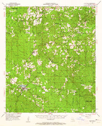
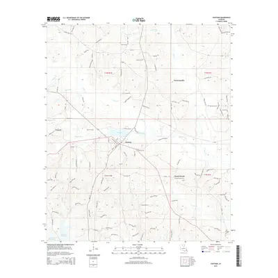
Loading map...1953 Map of Chatham
USGS Topo · Published 1962About this map
Chatham serves as the primary hub in this mid-century survey of the North Louisiana hill country, situated at the intersection of local rail lines and a network of parish roads. The landscape is defined by the headwaters of the Castor Creek and Choudrant Creek systems, where small settlements like Indian Village and Eros established themselves along the ridges. Evidence of rural life is widespread, with numerous landmarks such as Robertson Chapel and Phantom Chapel anchoring the farming communities.
Find a feature on this map
85 named features on this map. Tap any name to fly to it.
Don’t see what you’re looking for? This feature index may not catch every label — zoom into the map to look around manually.
Map Details
Date Portrayed1953
Date Published1962
PublisherU.S. Geological Survey
Map TypeTopographic
Scale1:62,500
Physical Dimensions16.9 x 20.8 inches
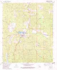
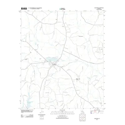
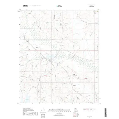
Editions of this 1953 Chatham Map
3 editions found

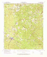
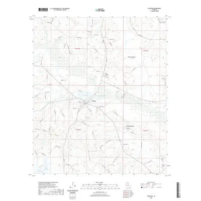
Historical Maps of Chatham Through Time
7 maps found
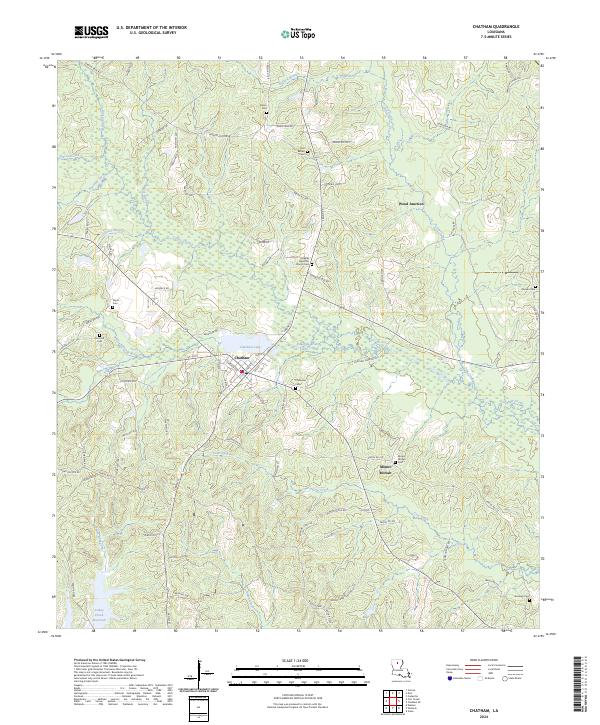
Featured Locations
Source Details
SourceU.S. Geological Survey
CopyrightPublic Domain