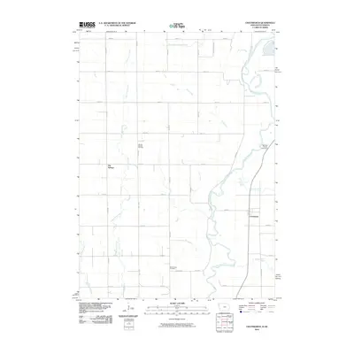
2010 Map of Chatsworth
USGS Topo · Published 2010About this map
The Big Sioux River meanders along the border of Iowa and South Dakota, defining the geography of this rural landscape at the start of the 21st century. The settlement of Chatsworth sits on the eastern bank, while Big Springs lies further west, marking established points of community in a region dominated by agricultural grid lines and river-fed tributaries. The land is drained by a network of waterways including West Union Creek, East Union Creek, and Sixmile Creek, which flow toward the river's winding path.
Find a feature on this map
35 named features on this map. Tap any name to fly to it.
Don’t see what you’re looking for? This feature index may not catch every label — zoom into the map to look around manually.
Map Details
Editions of this 2010 Chatsworth Map
This is the sole edition of this map. No revisions or reprints were ever made.
Other maps of this area

1897 · Canton
USGS Topo · 1:125,000

1898 · Elk Point
USGS Topo · 1:125,000

1900 · Canton
USGS Topo · 1:125,000

1901 · Elk Point
USGS Topo · 1:125,000

1907 · Elk Point
USGS Topo · 1:125,000

1955 · Sioux City
USGS Topo · 1:250,000

1955 · Sioux Falls
USGS Topo · 1:250,000

1958 · Sioux City
USGS Topo · 1:250,000

1958 · Sioux Falls
USGS Topo · 1:250,000

1959 · Sioux City
USGS Topo · 1:250,000