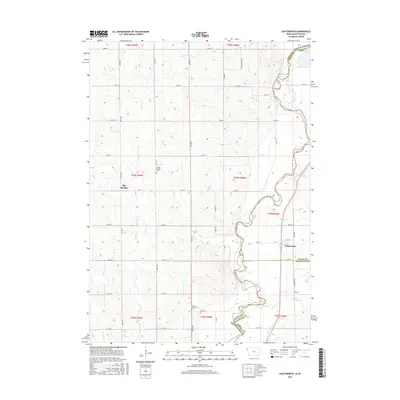
2015 Map of Chatsworth
USGS Topo · Published 2015About this map
The Big Sioux River carves a winding path along the state boundary between Iowa and South Dakota, serving as the central geographic feature of this 2015 survey. The town of Chatsworth is positioned near the eastern bank, while the small settlement of Big Springs lies to the west, surrounded by a complex network of section-line roads and rolling drainage basins. This area is characterized by numerous small waterways, including Sixmile Cr, Indian Cr, and the several branches of Union Creek, which define the local topography.
Find a feature on this map
47 named features on this map. Tap any name to fly to it.
Don’t see what you’re looking for? This feature index may not catch every label — zoom into the map to look around manually.
Map Details
Editions of this 2015 Chatsworth Map
This is the sole edition of this map. No revisions or reprints were ever made.
Other maps of this area

1897 · Canton
USGS Topo · 1:125,000

1898 · Elk Point
USGS Topo · 1:125,000

1900 · Canton
USGS Topo · 1:125,000

1901 · Elk Point
USGS Topo · 1:125,000

1907 · Elk Point
USGS Topo · 1:125,000

1955 · Sioux City
USGS Topo · 1:250,000

1955 · Sioux Falls
USGS Topo · 1:250,000

1958 · Sioux City
USGS Topo · 1:250,000

1958 · Sioux Falls
USGS Topo · 1:250,000

1959 · Sioux City
USGS Topo · 1:250,000