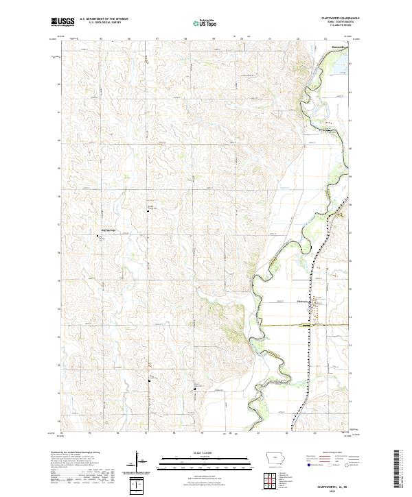
2022 Map of Chatsworth
USGS Topo · Published 2022About this map
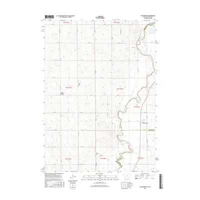
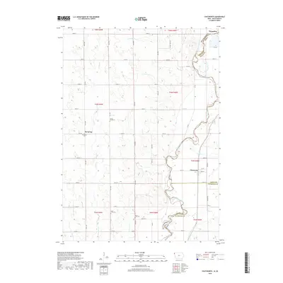
The Big Sioux River creates a meandering border between Iowa and South Dakota, anchoring a landscape defined by small river settlements and agricultural sections. The village of Chatsworth and the community of Big Springs sit along the eastern banks, where the topography transitions from the river valley into the upland drainage of S Br Green Cr and Scott Cr. Genealogists will find several burial grounds noted, including the Big Springs Cem, Old Big Springs Cem, and Mount Hope Cem, which serve as quiet markers of the area's early settlement history.
Find a feature on this map
40 named features on this map. Tap any name to fly to it.
Don’t see what you’re looking for? This feature index may not catch every label — zoom into the map to look around manually.
Map Details
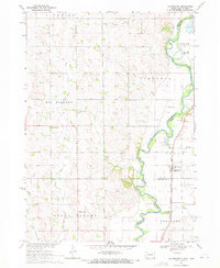
Editions of this 2022 Chatsworth Map
This is the sole edition of this map. No revisions or reprints were ever made.
Historical Maps of Hawarden Through Time
6 maps found
Featured Locations
- Chatsworth, IA
- Hawarden, IA
- Alcester Township, SD
- Big Springs Township, SD
- Big Springs, Big Springs Township