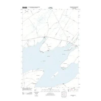
2013 Map of Chaumont
USGS Topo · Published 2013About this map
The eastern shore of Lake Ontario defines this landscape, where the waters of Chaumont Harbor and Three Mile Bay reach deep into the Jefferson County coastline. This maritime-oriented region is anchored by the village of Chaumont, where the Chaumont River enters the bay near the Independence Point Light. The map reveals a high concentration of historical family and community burial grounds, such as Barnes Bay Cem, Putman Cem, and Harris Cem, many located near the rural junctions of Co Rte-4 and Co Rte-5.
Find a feature on this map
76 named features on this map. Tap any name to fly to it.
Don’t see what you’re looking for? This feature index may not catch every label — zoom into the map to look around manually.
Map Details
Editions of this 2013 Chaumont Map
This is the sole edition of this map. No revisions or reprints were ever made.
Other maps of this area

1893 · Sackets Harbor
USGS Topo · 1:62,500

1895 · Sacketts Harbor
USGS Topo · 1:62,500

1895 · Stony Island
USGS Topo · 1:62,500

1895 · Cape Vincent
USGS Topo · 1:62,500

1900 · Clayton
USGS Topo · 1:62,500

1903 · Clayton
USGS Topo · 1:62,500

1942 · Cape Vincent North
USGS Topo · 1:31,680

1942 · Henderson Bay
USGS Topo · 1:31,680

1942 · Chaumont
USGS Topo · 1:31,680

1942 · Sawmill Bay
USGS Topo · 1:31,680