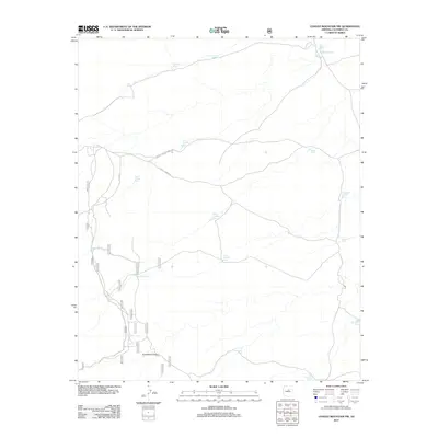
2011 Map of Chavez Mountain NW
USGS Topo · Published 2011About this map
Kinnikinick Canyon carves through the high plateau of Coconino County, serving as a primary topographical landmark in this arid landscape. The area is defined by an extensive network of water management features, critical for ranching and forest service operations in the high desert. Numerous small reservoirs and catchment basins, such as Morton Tanks, Roosevelt Tank, and Easter Tank, are distributed across the terrain to capture seasonal runoff.
Find a feature on this map
31 named features on this map. Tap any name to fly to it.
Don’t see what you’re looking for? This feature index may not catch every label — zoom into the map to look around manually.
Map Details
Editions of this 2011 Chavez Mountain NW Map
This is the sole edition of this map. No revisions or reprints were ever made.
Other maps of this area

1886 · San Francisco Mtns
USGS Topo · 1:250,000

1887 · Verde
USGS Topo · 1:250,000

1891 · San Francisco Mtns
USGS Topo · 1:250,000

1892 · Verde
USGS Topo · 1:250,000

1894 · San Francisco Mtns
USGS Topo · 1:250,000

1899 · San Francisco Mtns
USGS Topo · 1:250,000

1947 · Flagstaff
USGS Topo · 1:250,000

1954 · Flagstaff
USGS Topo · 1:250,000

1954 · Holbrook
USGS Topo · 1:250,000

1957 · Holbrook
USGS Topo · 1:250,000