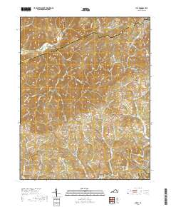
2019 Map of Check
USGS Topo · Published 2019About this map
The mountain ridge country where Montgomery and Floyd Counties meet is characterized by high-elevation settlements and a complex web of headwater streams. Small communities like Check, Copper Hill, and Simpsons dot the landscape, connected by winding routes such as the Shawsville Pike NE. The map reveals a dense network of family history markers, with numerous small burial grounds including Simpson Cem, Kefauver Cem, and Halls Cem situated near the headwaters of Meadow Run and Little River. This high plateau environment is also defined by the iconic Blue Ridge Parkway, which traces the eastern edge of the quadrangle. The terrain transitions from the broader valley of the South Fork Roanoke River near Piedmont to the higher, dissected peaks surrounding Hemlock.
Find a feature on this map
89 named features on this map. Tap any name to fly to it.
Don’t see what you’re looking for? This feature index may not catch every label — zoom into the map to look around manually.
Map Details
Editions of this 2019 Check Map
This is the sole edition of this map. No revisions or reprints were ever made.
Other maps of this area

1890 · Christiansburg
USGS Topo · 1:125,000

1932 · Blacksburg
USGS Topo · 1:48,000

1937 · Blacksburg
USGS Topo · 1:62,500

1950 · Elliston
USGS Topo · 1:62,500

1953 · Winston-Salem
USGS Topo · 1:250,000

1955 · Bluefield
USGS Topo · 1:250,000

1955 · Winston-Salem
USGS Topo · 1:250,000

1957 · Endicott
USGS Topo · 1:62,500

1957 · Floyd
USGS Topo · 1:62,500

1957 · Bluefield
USGS Topo · 1:250,000