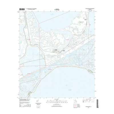
2015 Map of Chef Menteur
USGS Topo · Published 2015About this map
Venetian Isles and Chef Menteur anchor this intricate coastal landscape where the waters of Lake Pontchartrain meet the Gulf of Mexico through a complex network of bayous and lagoons. The transition from terrestrial to aquatic environments is defined by the heavy infrastructure of the Intracoastal Waterway and the path of Chef Menteur Blvd, following the historic alignment of the Old Spanish Trl.
Find a feature on this map
44 named features on this map. Tap any name to fly to it.
Don’t see what you’re looking for? This feature index may not catch every label — zoom into the map to look around manually.
Map Details
Editions of this 2015 Chef Menteur Map
This is the sole edition of this map. No revisions or reprints were ever made.
Other maps of this area

1892 · Chef Menteur
USGS Topo · 1:62,500

1892 · St. Bernard
USGS Topo · 1:62,500

1893 · Rigolets
USGS Topo · 1:62,500

1893 · Shell Beach
USGS Topo · 1:62,500

1936 · North Shore
USGS Topo · 1:31,680

1936 · South Point
USGS Topo · 1:31,680

1936 · Chef Menteur
USGS Topo · 1:62,500

1936 · Rigolets
USGS Topo · 1:62,500

1937 · Chef Menteur
USGS Topo · 1:31,680

1938 · Little Woods
USGS Topo · 1:31,680
Featured Places
- New Orleans, LA
- Greens Ditch, New Orleans
- Chef Menteur, New Orleans
- Venetian Isles, New Orleans
- Orleans Parish, LA