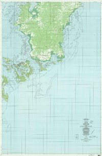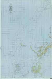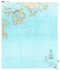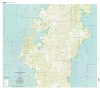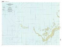
1998 Map of Chelbacheb North
USGS Topo · Published 2004About this map
The limestone labyrinth of the Chelbacheb (Rock Islands) dominates this maritime survey, illustrating the complex geography of Koror in the late 20th century. The intricate shoreline of Ngeruktabel is meticulously charted alongside smaller outcrops such as Ulong and Ngebedangel. These karst formations, characterized by steep elevations and tidal notches, are punctuated by distinctive landmarks like the Natural Arch and a significant Cave located within the interior of the larger islands.
Find a feature on this map
46 named features on this map. Tap any name to fly to it.
Don’t see what you’re looking for? This feature index may not catch every label — zoom into the map to look around manually.
Map Details
Editions of this 1998 Chelbacheb North Map
This is the sole edition of this map. No revisions or reprints were ever made.