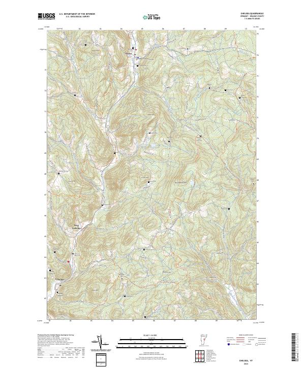
2024 Map of Chelsea
USGS Topo · Published 2024About this map
The Orange County Courthouse stands as a central civic landmark in Chelsea, situated at the convergence of several upland valleys. The landscape is defined by the First Branch White River and its tributaries, including Jail Brook and Cram Brook, which have historically dictated the placement of settlements like North Tunbridge and Tunbridge. This modern topographic survey illustrates a deeply rooted Vermont town structure, where high ridges like Brocklebank Hill and Holt Hill separate narrow, productive valleys.
Find a feature on this map
111 named features on this map. Tap any name to fly to it.
Don’t see what you’re looking for? This feature index may not catch every label — zoom into the map to look around manually.
Map Details
Editions of this 2024 Chelsea Map
This is the sole edition of this map. No revisions or reprints were ever made.
Other maps of this area

1896 · Strafford
USGS Topo · 1:62,500

1919 · Royalton
USGS Topo · 1:62,500

1922 · Barre
USGS Topo · 1:48,000

1924 · Barre
USGS Topo · 1:62,500

1924 · Randolph
USGS Topo · 1:48,000

1926 · Randolph
USGS Topo · 1:62,500

1944 · Strafford
USGS Topo · 1:62,500

1947 · Corinth
USGS Topo · 1:62,500

1948 · East Barre
USGS Topo · 1:62,500

1950 · Glens Falls
USGS Topo · 1:250,000