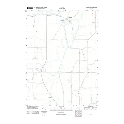
2010 Map of Cherry Creek
USGS Topo · Published 2010About this map
South Dayton and Cherry Creek serve as the primary hubs in this corner of Chautauqua and Cattaraugus Counties, connected by a network of rural roads that frequently intersect at named corners. These intersections, such as Balcom Corners, Skunks Corner, and Millmans Corners, suggest a landscape shaped by early family settlements and local school districts, including Kings School Corner. The terrain is defined by the winding paths of Conewango Creek and the West Branch Conewango Creek, which dominate the central valley.
Find a feature on this map
65 named features on this map. Tap any name to fly to it.
Don’t see what you’re looking for? This feature index may not catch every label — zoom into the map to look around manually.
Map Details
Editions of this 2010 Cherry Creek Map
This is the sole edition of this map. No revisions or reprints were ever made.
Other maps of this area

1900 · Cherry Creek
USGS Topo · 1:62,500

1905 · Jamestown
USGS Topo · 1:62,500

1922 · Randolph
USGS Topo · 1:62,500

1923 · Randolph
USGS Topo · 1:62,500

1923 · Cattaraugus
USGS Topo · 1:62,500

1938 · Cattaraugus
USGS Topo · 1:62,500

1941 · Cattaraugus
USGS Topo · 1:62,500

1941 · Cherry Creek
USGS Topo · 1:62,500

1942 · Jamestown
USGS Topo · 1:62,500

1943 · Randolph
USGS Topo · 1:62,500