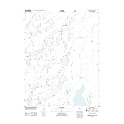
2012 Map of Cherry Lake North
USGS Topo · Published 2012About this map
Cherry Lake anchors the southeastern corner of this high-elevation terrain in Tuolumne County, marking a landscape defined by significant water systems and seasonal meadows. The map details a complex network of forest routes, including Forest Rte 3N18 and Rock Creek Rd, which provide access to high-country features such as Jawbone Pass and the steep descent of Jawbone Falls.
Find a feature on this map
43 named features on this map. Tap any name to fly to it.
Don’t see what you’re looking for? This feature index may not catch every label — zoom into the map to look around manually.
Map Details
Editions of this 2012 Cherry Lake North Map
This is the sole edition of this map. No revisions or reprints were ever made.
Other maps of this area

1891 · Big Trees
USGS Topo · 1:125,000

1893 · Sonora
USGS Topo · 1:125,000

1894 · Big Trees
USGS Topo · 1:125,000

1896 · Dardanelles
USGS Topo · 1:125,000

1896 · Sonora
USGS Topo · 1:125,000

1897 · Sonora
USGS Topo · 1:125,000

1897 · Big Trees
USGS Topo · 1:125,000

1897 · Yosemite
USGS Topo · 1:125,000

1898 · Dardanelles
USGS Topo · 1:125,000

1898 · Sonora
USGS Topo · 1:125,000