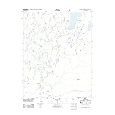
2012 Map of Cherry Lake South
USGS Topo · Published 2012About this map
Cherry Lake and Lake Eleanor dominate the high country of this Tuolumne County terrain, where water management and forestry define the landscape. The hydroelectric infrastructure is prominently marked by the Dion R Holm Powerhouse and the Robert C Kirkwood Powerhouse along the Cherry Creek and Tuolumne River corridors. These facilities, combined with the complex network of forest routes such as Cherry Oil Road and Cottonwood Road, illustrate the region's 21st-century role in power generation and resource access.
Find a feature on this map
97 named features on this map. Tap any name to fly to it.
Don’t see what you’re looking for? This feature index may not catch every label — zoom into the map to look around manually.
Map Details
Editions of this 2012 Cherry Lake South Map
This is the sole edition of this map. No revisions or reprints were ever made.
Other maps of this area

1891 · Big Trees
USGS Topo · 1:125,000

1893 · Sonora
USGS Topo · 1:125,000

1894 · Big Trees
USGS Topo · 1:125,000

1896 · Dardanelles
USGS Topo · 1:125,000

1896 · Sonora
USGS Topo · 1:125,000

1897 · Sonora
USGS Topo · 1:125,000

1897 · Big Trees
USGS Topo · 1:125,000

1897 · Yosemite
USGS Topo · 1:125,000

1898 · Dardanelles
USGS Topo · 1:125,000

1898 · Sonora
USGS Topo · 1:125,000