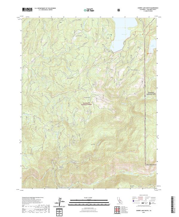
2021 Map of Cherry Lake South
USGS Topo · Published 2021About this map
Cherry Lake and Lake Eleanor anchor the upper reaches of this High Sierra landscape, where the boundary between Stanislaus National Forest and Yosemite National Park divides the high ridges. The map captures a transition from the deep drainage of the Tuolumne River at the southern edge, near the Tuolumne Wild and Scenic River corridor, to the high alpine meadows and peaks of the Sierra Nevada. Localities like Kelly Flat, Joes Point, and Jones Point are documented along the lower elevations, while the interior is accessible only by a network of trails. Significant routes include the Preston Falls Trl and the Andresen Mine Trl, reflecting the historical mining and pack-trail legacy of the region. The map provides a precise look at the forest service infrastructure, including Cottonwood Rd and numerous fire-access routes such as Cherry Oil Rd.
Find a feature on this map
57 named features on this map. Tap any name to fly to it.
Don’t see what you’re looking for? This feature index may not catch every label — zoom into the map to look around manually.
Map Details
Editions of this 2021 Cherry Lake South Map
This is the sole edition of this map. No revisions or reprints were ever made.
Other maps of this area

1891 · Big Trees
USGS Topo · 1:125,000

1893 · Sonora
USGS Topo · 1:125,000

1894 · Big Trees
USGS Topo · 1:125,000

1896 · Dardanelles
USGS Topo · 1:125,000

1896 · Sonora
USGS Topo · 1:125,000

1897 · Sonora
USGS Topo · 1:125,000

1897 · Big Trees
USGS Topo · 1:125,000

1897 · Yosemite
USGS Topo · 1:125,000

1898 · Dardanelles
USGS Topo · 1:125,000

1898 · Sonora
USGS Topo · 1:125,000